6693277-diaporama

6693285-diaporama
6693311-diaporama
Walk / Hike with magnificent views of the Meije, the Écrins and the Grandes Rousses massif.
About : Tour du Signal de l’Homme
Ideal for a day or half day depending on your level of experience.
TECHNICAL INFORMATION
Departure : Auris en Oisans
Difference in altitude: 310 m
Round trip duration : 3h30
Distance : 9.5 km
Technical level : easy - Physical level : easy
MAP AND TOPO
Map / Topo guide OBP n°3 (on sale at the tourist office): paths 312 + 253 + 301.
IGN Top 25 Bourg d'Oisans and Alpe d'Huez 3335 ET.
ITINERARY
From Auris Station, start towards Col de Cluy via path 312. At the Col de Cluy, follow the Signal de L'homme on path 253 towards Col de Maronne.
At the Col de Maronne, return to Auris Station on path 301.
TO SEE ON THE ROUTE
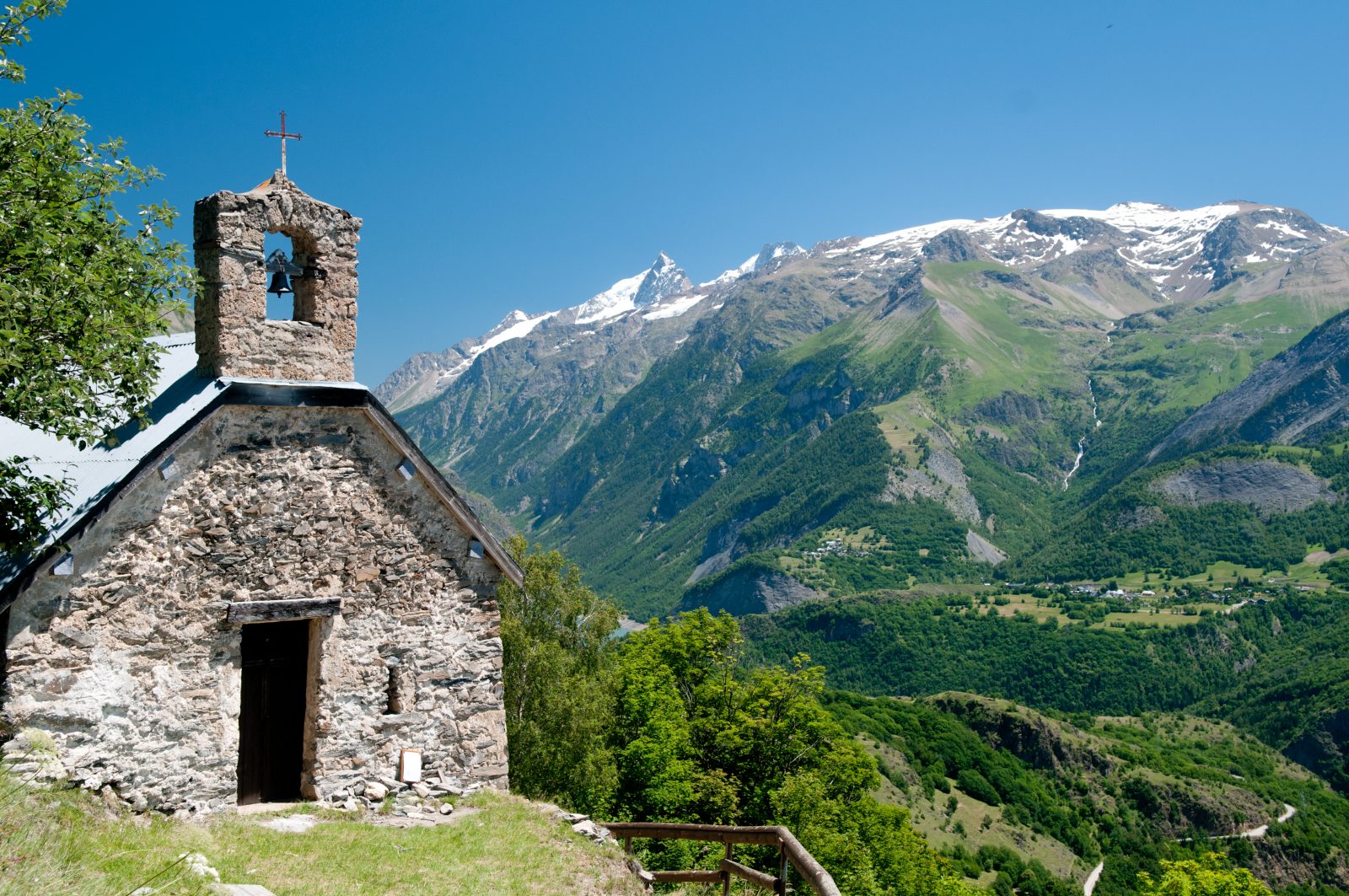
On the way you will come across the chapel of St Géraud and the chapel of St Ilpice.
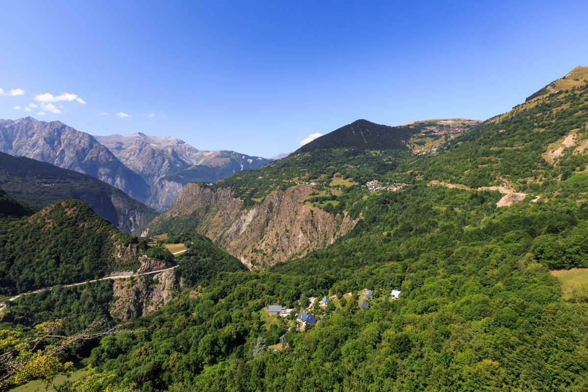
The view of the Ecrins National Park and the glaciers of the Meije
TO SEE, TO DO IN THE SURROUNDINGS.
Discover the mountain pastures, a season full of rare and precious moments, which invite the traveller to immerse himself in the mountain culture, to admire the landscapes and to understand the life in the mountain pastures with the shepherds, the breeders and their flocks.
TO KNOW
The chapel of St Géraud is located at the beginning of the walk (312). The story goes that the Count Géraud of Aurillac passed through Auris during one of his many pilgrimages to Rome.
This chapel (dating from 890) was built on the very spot where he died.
Dogs must be kept on a lead because of the presence of herding dogs at certain times of the year.
En bref
3 h 30
J+ : 310 m
9.5 km
Map and GPX marking
Tour du Signal de l’Homme
Auris-en-Oisans
Services
- Pets welcome
Download
Opening
From 31/05 to 31/10.
Subject to favorable snow and weather conditions.
Prices
Free access.


