42425858-diaporama
42425854-diaporama
42425855-diaporama
42425852-diaporama
42425853-diaporama
42425856-diaporama
42425857-diaporama
42425859-diaporama
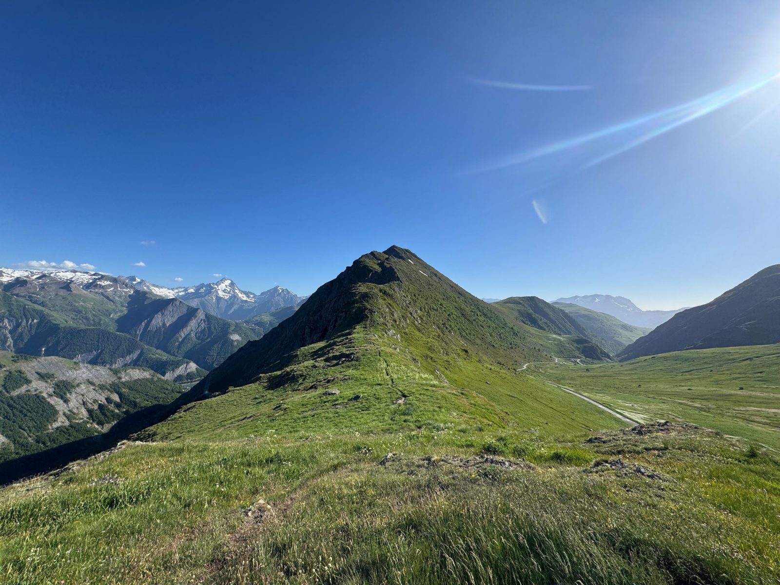
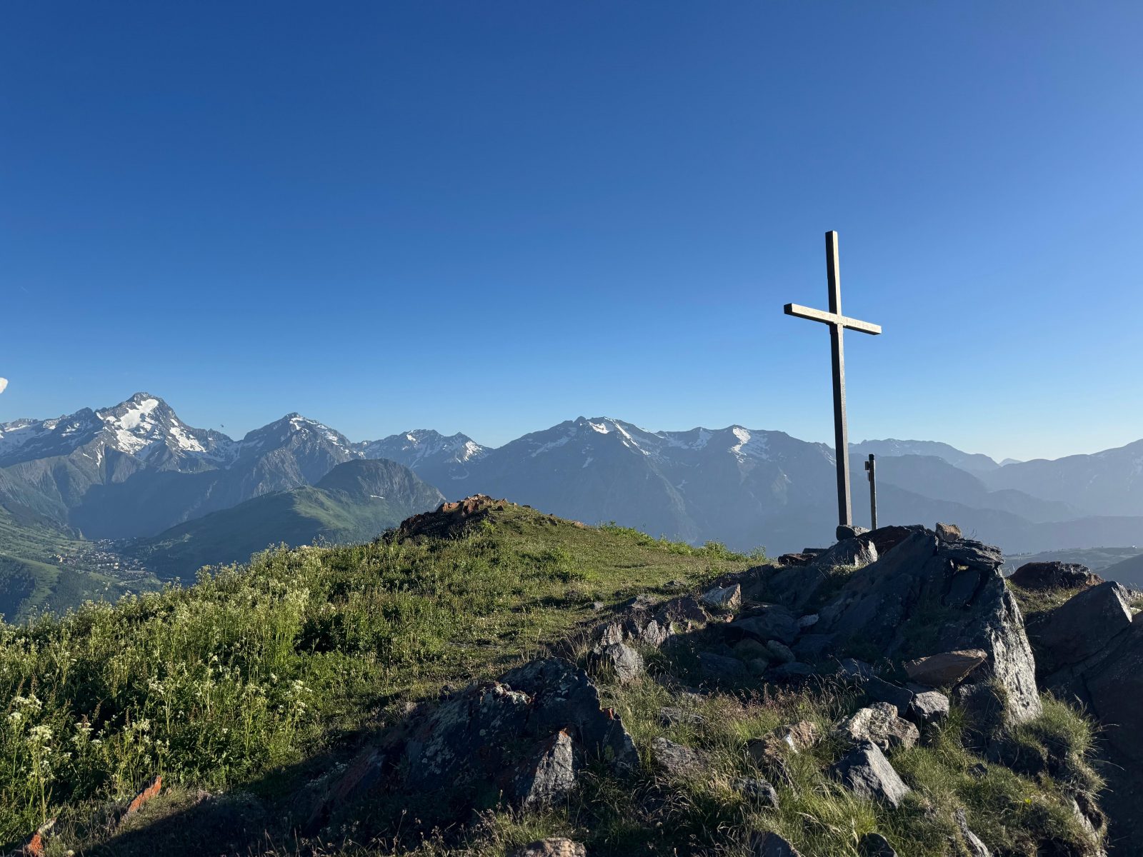
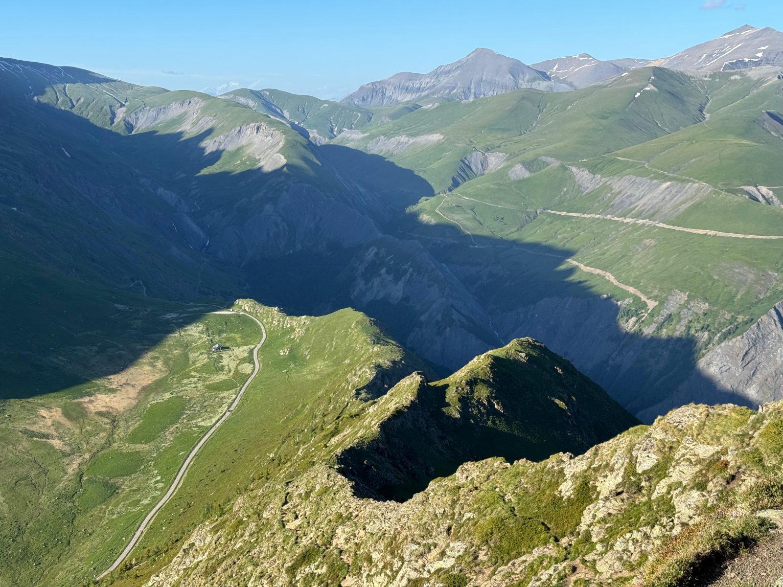
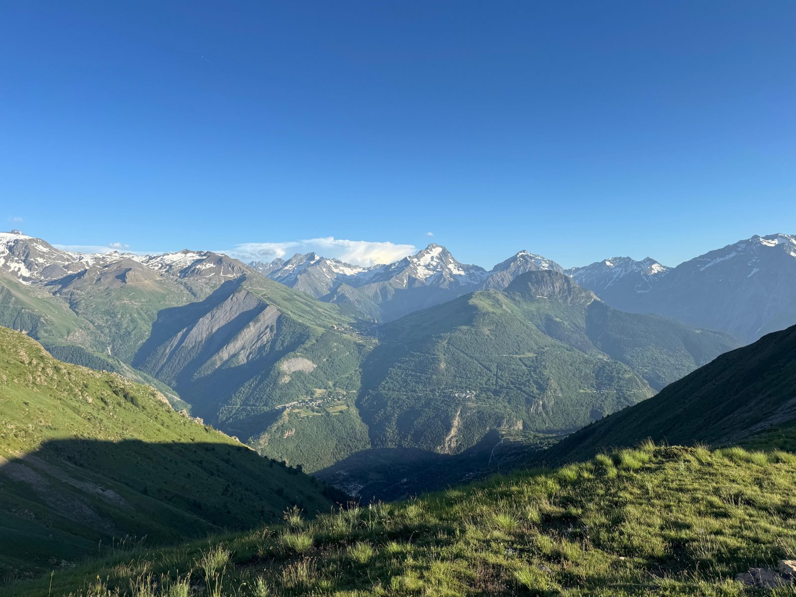
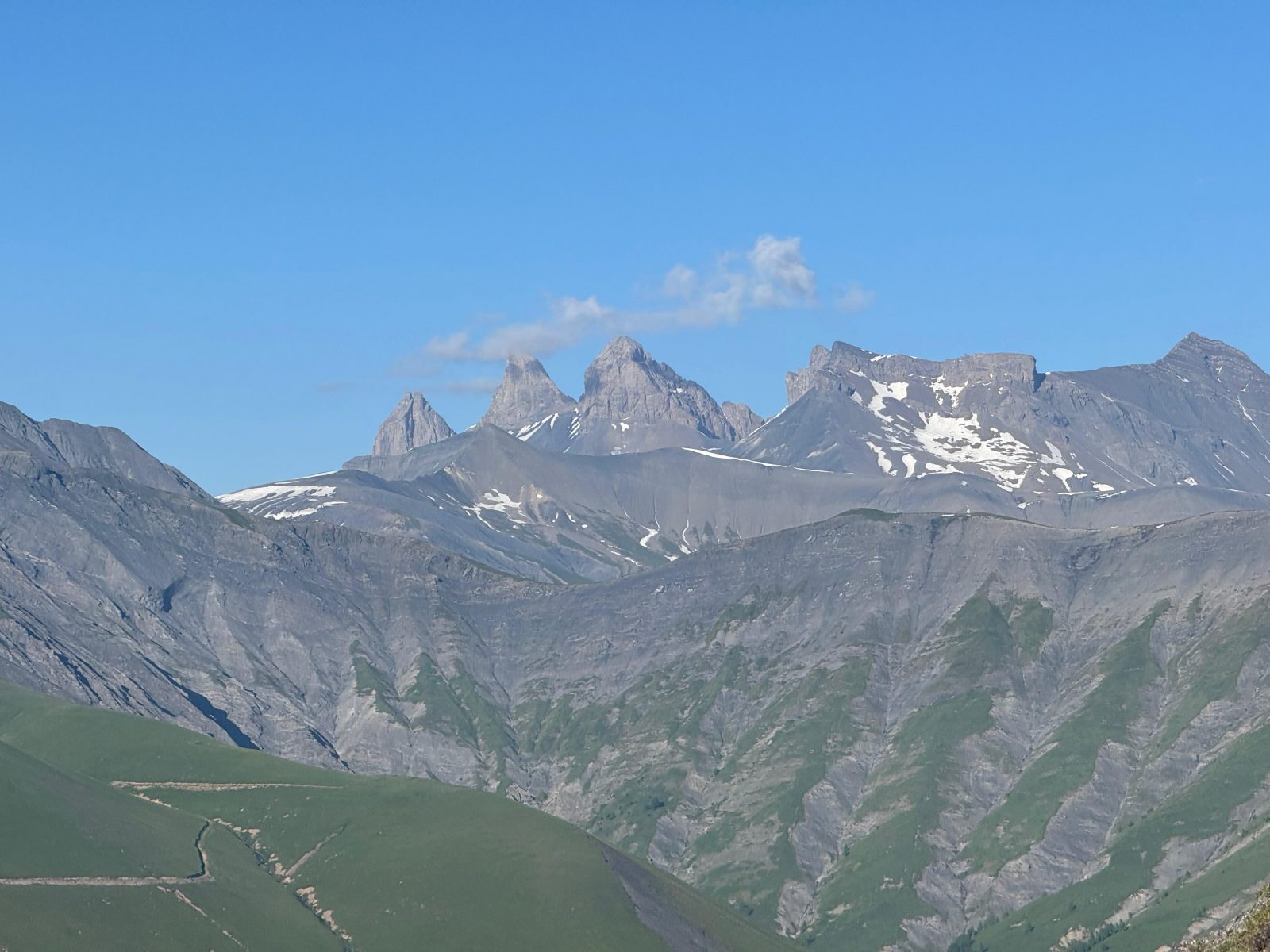
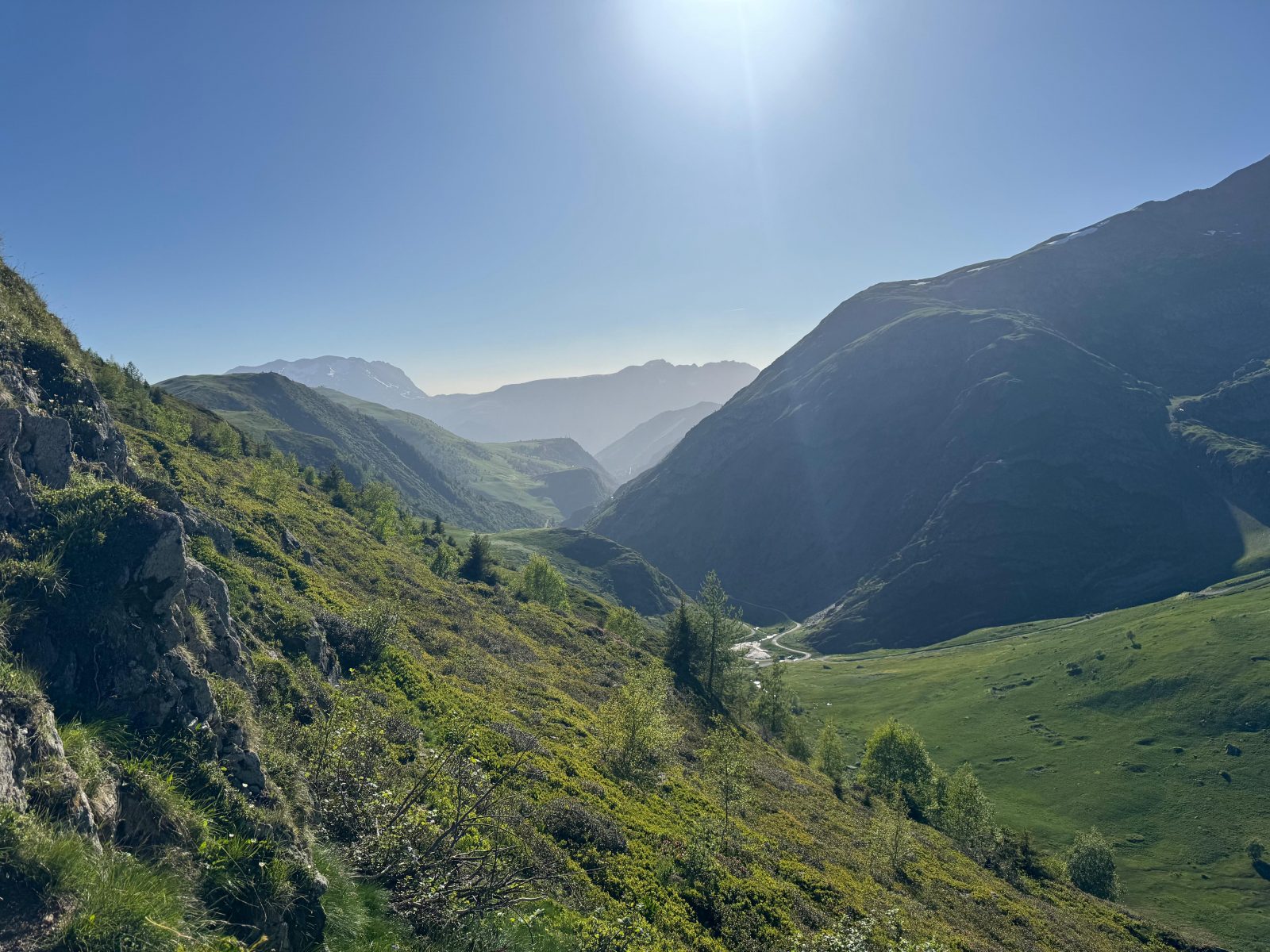
A route that’s moderately challenging in terms of endurance but very technical: a panoramic view of the entire Oisans region from the summit of the Croix de Cassini. The ridge is quite vertiginous, but it’s a perfect introduction to skyrunning!
À propos : 7 – The Cassini Cross as seen from the Sarenne Pass
Terrain difficulty: A steep, vertiginous trail of stone and rock along a ridge (with a few sections requiring the use of hands) on the ascent. The descent is moderately technical at first, then becomes more technical with deeply eroded, gully-like trails followed by rocks that disrupt your stride.
Terrain conditions: Stones and boulders that disrupt your stride on a steep to moderately steep slope.
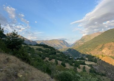
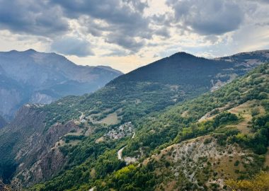
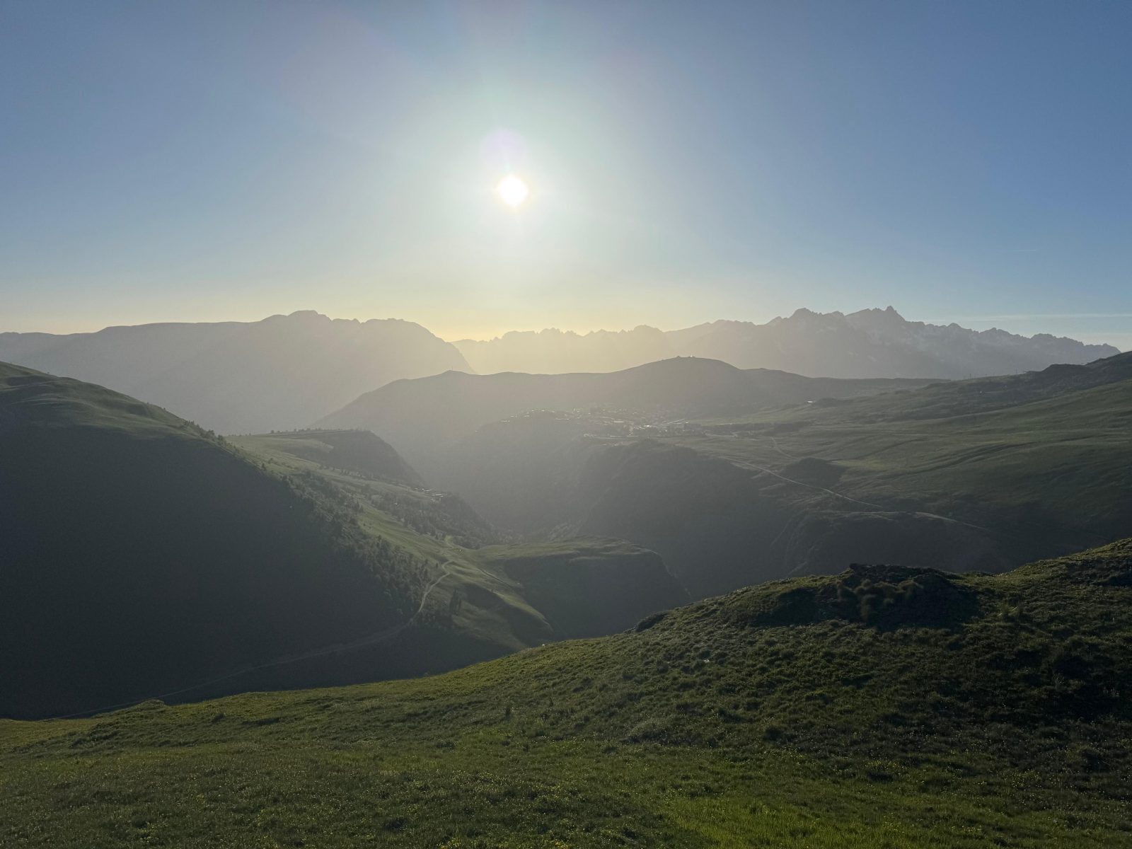
The view of the five Oisans mountain ranges offers an unmissable experience: Arves, Grandes Rousses, Belledonne, Taillefer, and Ecrins. If you love vertical challenges, you’ll be in heaven. This route is typical of “skyrunning,” a sub-discipline of mountain trail running.
Accueil : There are no water sources along this route (no rivers or fountains) except at the trailhead (fountain—drinking water)
Visitor alert
The periods during which trails are accessible vary from year to year depending on snow cover and weather conditions. In addition, trail conditions can change rapidly after a weather event and are not checked daily. If you encounter a section of the trail that is in poor condition or dangerous, turn back and report it to the tourist office upon your return.
Guidebook with maps/step-by-step
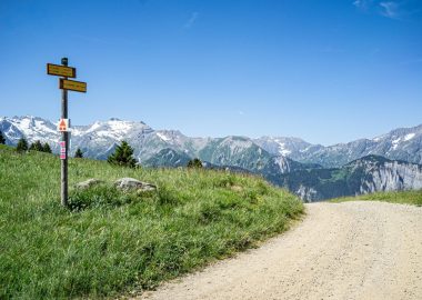
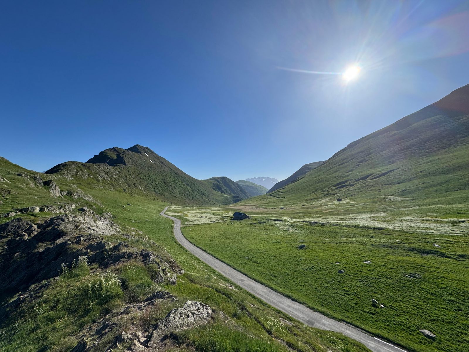
From the Col de Sarenne parking lot, take a trail that climbs directly to the end of the ridge toward the orientation table; simply follow the signs for “La Croix de Cassini.”
The route is then marked in yellow on the rocks along the entire length of the ridge. However, the markings may be difficult to follow because several trails intersect during the ascent.
At the rock face section, we recommend taking the left-hand route, which is more accessible, less steep, and less exposed to the drop-off.
Once you reach the summit, follow signs for “Col de Grande Pellorce”. Once you reach the pass, turn right, following “Le Sela” and “Les dessus du Sela.”
As you approach the road, turn right again, following “Col de Sarenne,” which will lead you back to your starting point.
En bref
1 h 40
D+ : 510 m
6.1 km
Level bue - Medium
Plan et tracé GPX
7 – The Cassini Cross as seen from the Sarenne Pass
Auris-en-Oisans
Équipements
- Play area
- Picnic area
- Bar
- Public WC
- Car park
- Restaurant
- Ping pong table
- Charging stations for electric vehicles
- Free car park
Services
- Pets welcome
- Motorhomes allowed
- Drinking water
Prestations
Activités
- Durée séance : 100 minutes
Visites
- Durée moyenne de la individuelle : 100 minutes
À télécharger
Ouverture
From 15/06 to 30/09 daily.
The periods during which the trails are accessible vary from year to year depending on snow cover and weather conditions. In addition, trail conditions can change rapidly after a weather event and are not checked daily. If you encounter a section of the trail that is in poor condition or dangerous, turn back and report it to the tourist office upon your return.
Subject to favorable weather.
Tarifs
Free access.
Accueil animaux
Dogs must be kept on a leash throughout the entire municipality. At the end of the season, you’ll be crossing alpine pastures with sheep and guard dogs.
Ce prestataire vous propose aussi