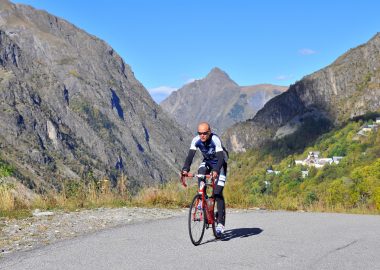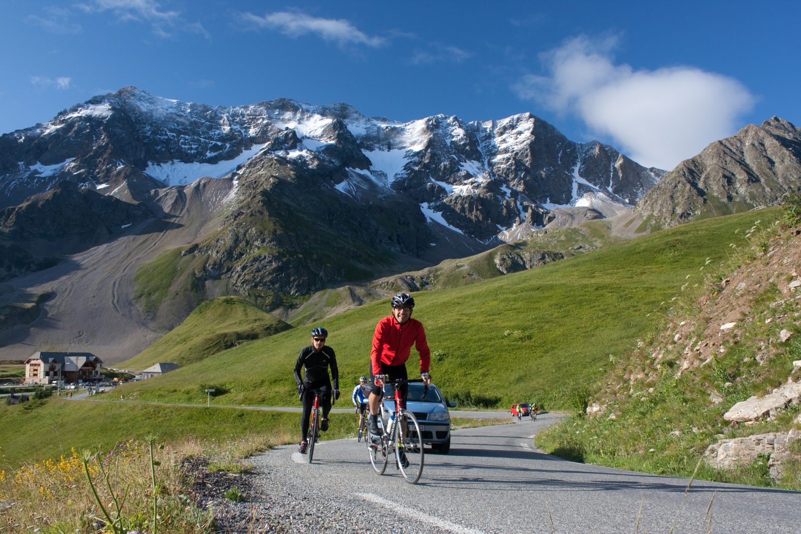
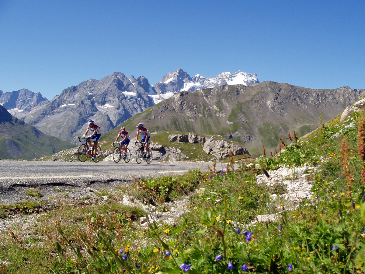
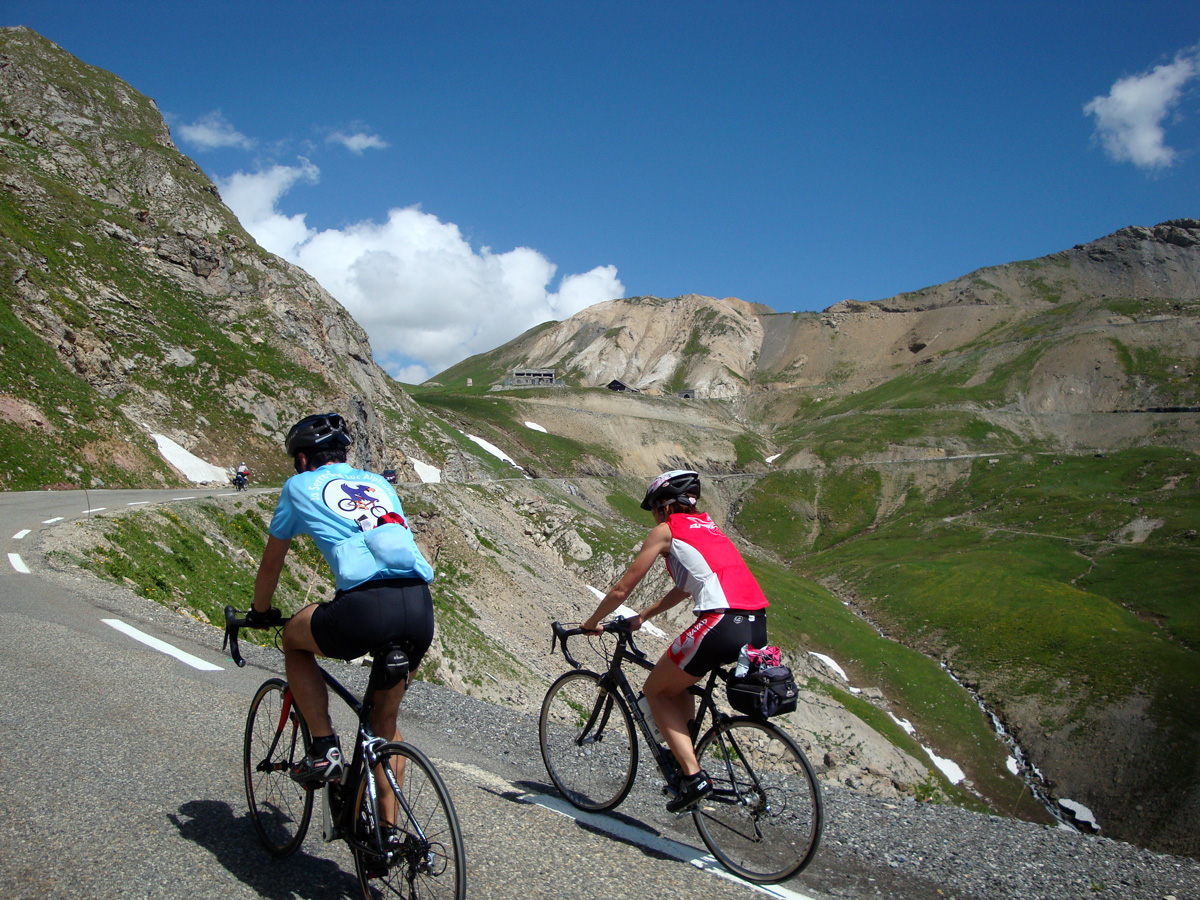
The Col du Galibier
The Col du Galibier
The Col du Galibier
The Col du Galibier
The Col du Galibier
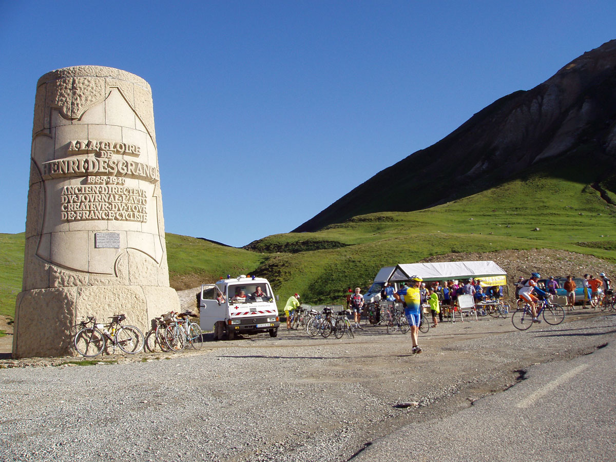
The Col du Galibier
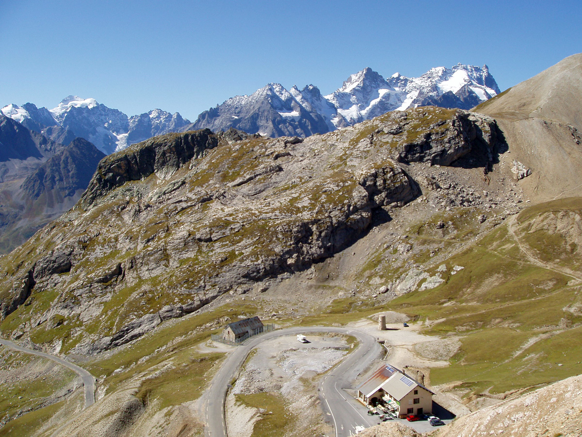
The flat terrain of Le Bourg-d'Oisans provides a welcome warm-up before the fearsome ascent of this 2646 m giant of the Alps. And don't forget that you'll have to cross the Col du Lautaret before reaching the Galibier. High mountain atmosphere guaranteed!
À propos : The Col du Galibier
This route is available on the “Vélo en Oisans” map (Oisans Tourisme)
Start / Finish : Bourg-d'Oisans 720 m
Duration : 6 h
Distance (return) : 96 km
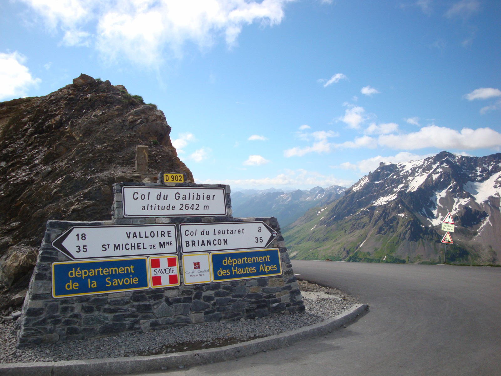
Maximum altitude: 2646 m
Minimum altitude: 720 m
Ascent: 1900 m
Maximum gradient: 14
Cartography: Michelin Carte Département Isère, Savoie n° 333
ITINERARY
From Bourg-d'Oisans, head for "Briançon / Les 2 Alpes" on the D1091 as far as the Chambon dam. You'll pass through 4 lighted tunnels on this stretch, so for your own safety, make sure you're visible.
Once at the dam, continue towards "Briançon / La Grave" as far as the Col du Lautaret (2058 m).
From Le Lautaret, turn left towards the Col du Galibier. There's still 8 km of sustained ascent to the summit.
Beware of the effects of altitude, which can be felt from 2000 m upwards.
En bref
6 h 00
D+ : 1900 m
96 km
Level black - very hard
Plan et tracé GPX
The Col du Galibier
Le Bourg-d'Oisans
Prestations
Activités
- Durée séance : 360 minutes
Visites
- Durée moyenne de la individuelle : 360 minutes
Ouverture
From 01/06 to 31/10 daily.
Depending on snow conditions.
Subject to favorable snow and weather conditions.
Tarifs
Free of charge.