18057521-diaporama
440246-diaporama ©@OTlaMeije
440247-diaporama ©@JugeSports
440248-diaporama ©@OTlaMeije
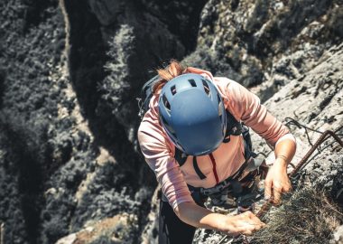
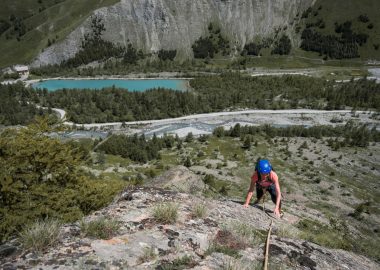
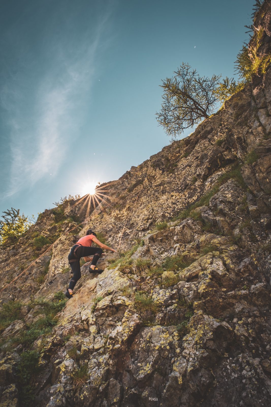
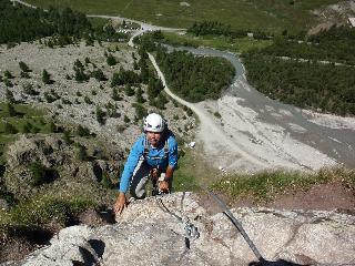
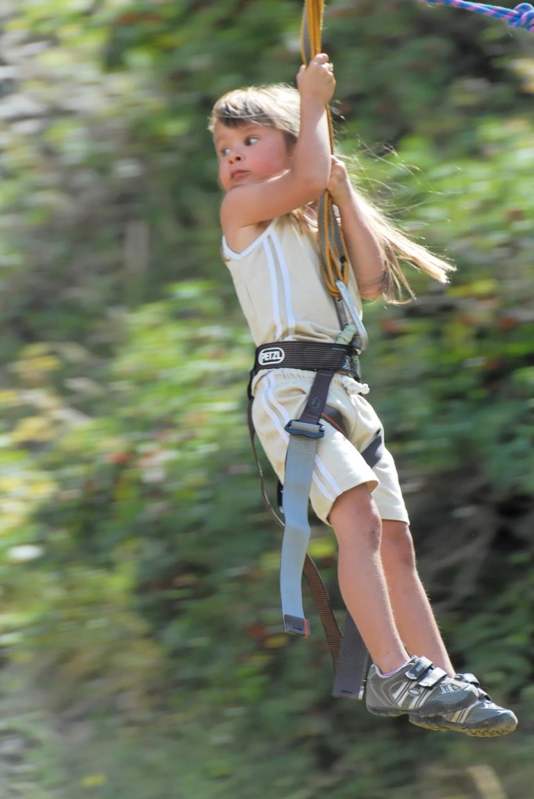
A vast, friendly site on the edge of the Ecrins National Park, along the Romanche river. There's something for everyone here, from 2 to 8, a relaxing landscape, a via ferrata to escape to, fresh air and views. There's something for everyone!
À propos : Climbing school in Arsine
TECHNICAL INFORMATION :
Difficulty/Rotation: 3 > 8b
Starting altitude: 1660 m
Number of routes: 89
Maximum route height: 40 m
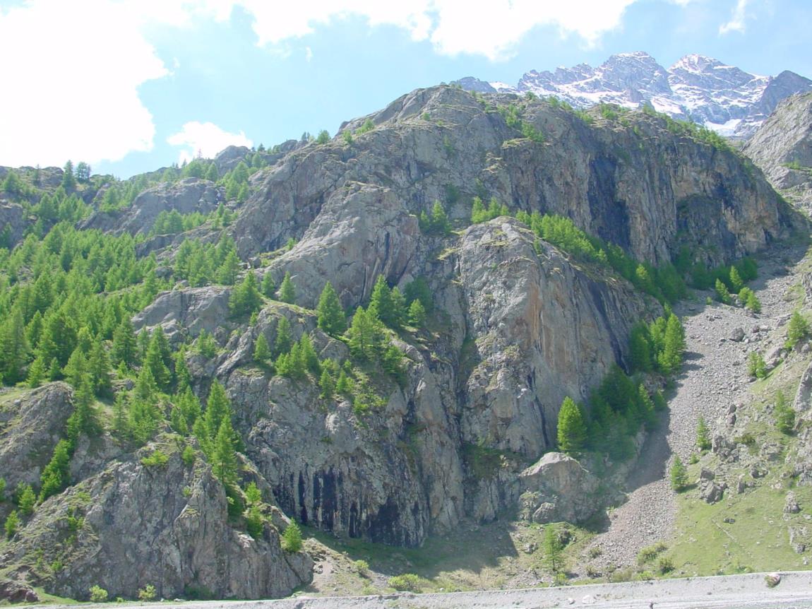
Rock type: gneiss
Exposure: north
Approach time: 1 to 20 minutes
TOPO - MAPS :
Top 25 IGN 3436 ET La Meije
Topo Escalade en Isère, Ze topo tome 2, FFME
Topo d'Escalade au Pays de la Meije, produced by the Bureau des Guides (63 color pages), on sale at La Grave Tourist Office.
History: sector equipped by Bruno Soleymieux and E.Benbassath in the 1980s.
The Bureau des Guides de La Grave la Meije organizes climbing school outings!
The Bureau des Guides de la Grave has published a climbing guide with photos and sketches... It includes descriptions of climbing schools, big routes, bouldering and dry tooling. Sectors: Col du Galibier, Arsine, La Grave, Le Chazelet, les Fréaux, Bourg d'Oisans.
On sale at the Bureau des Guides and the La Grave Tourist Office.
En bref
German - English - Spanish - French - Italian
À télécharger
Ouverture
From 15/05 to 30/09 daily.
Tarifs
Free access.
Ce prestataire vous propose aussi


Complément de localisation
On the road 1091 (Briançon direction) pass Villar d'Arene and turn right to direction " Pied du Col". Then follow right "Refuge de l'Alpe" and park on the parking of the via ferrata just after the Bridge, named " Pont des Brebis ".
The climbing area is right there on four spot : 1; 2; 3 to the left of the via ferrata, and number 4 on the right.