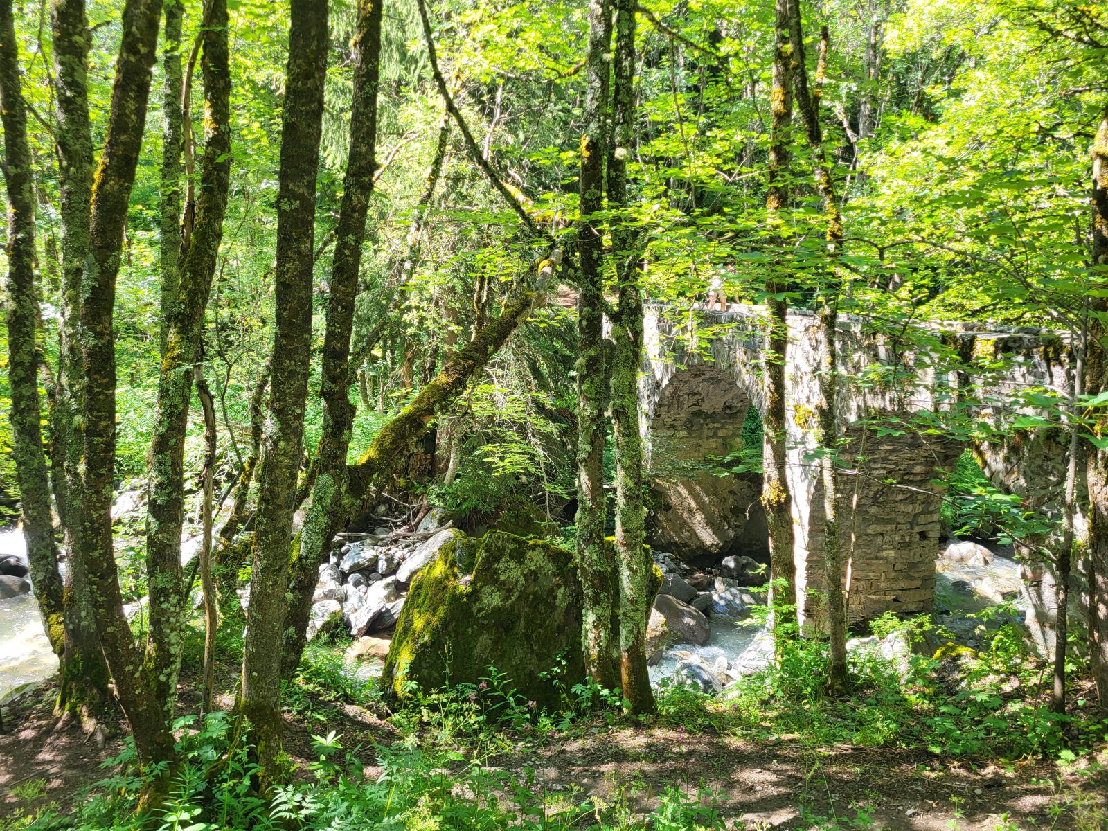
The Roman Bridge over the Sarenne ©Alison Leroy

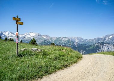
Pedestrian sign in the hamlet of Rosai ©Alison Leroy
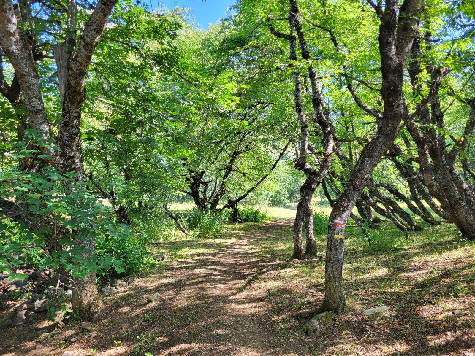
Shaded trail ©Alison Leroy
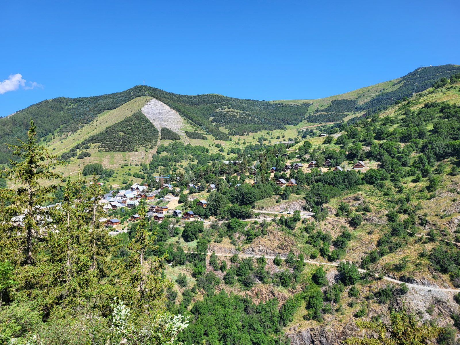
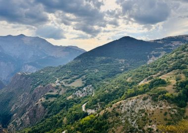
View of the village of Huez from the trail ©Alison Leroy
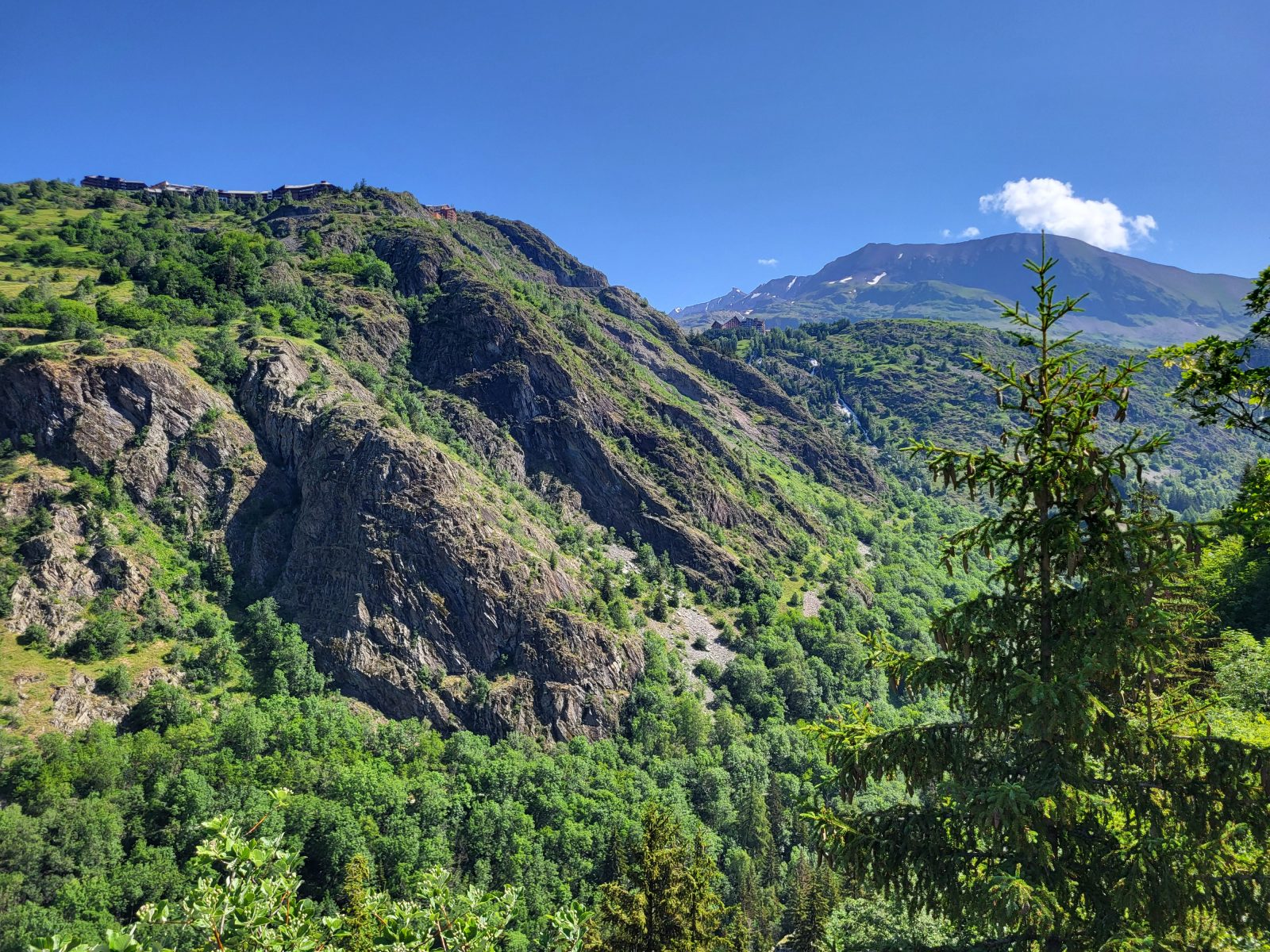
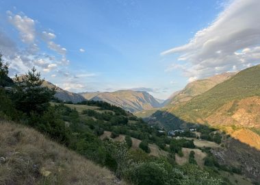
View from the Sarenne Gorges Trail ©Alison Leroy
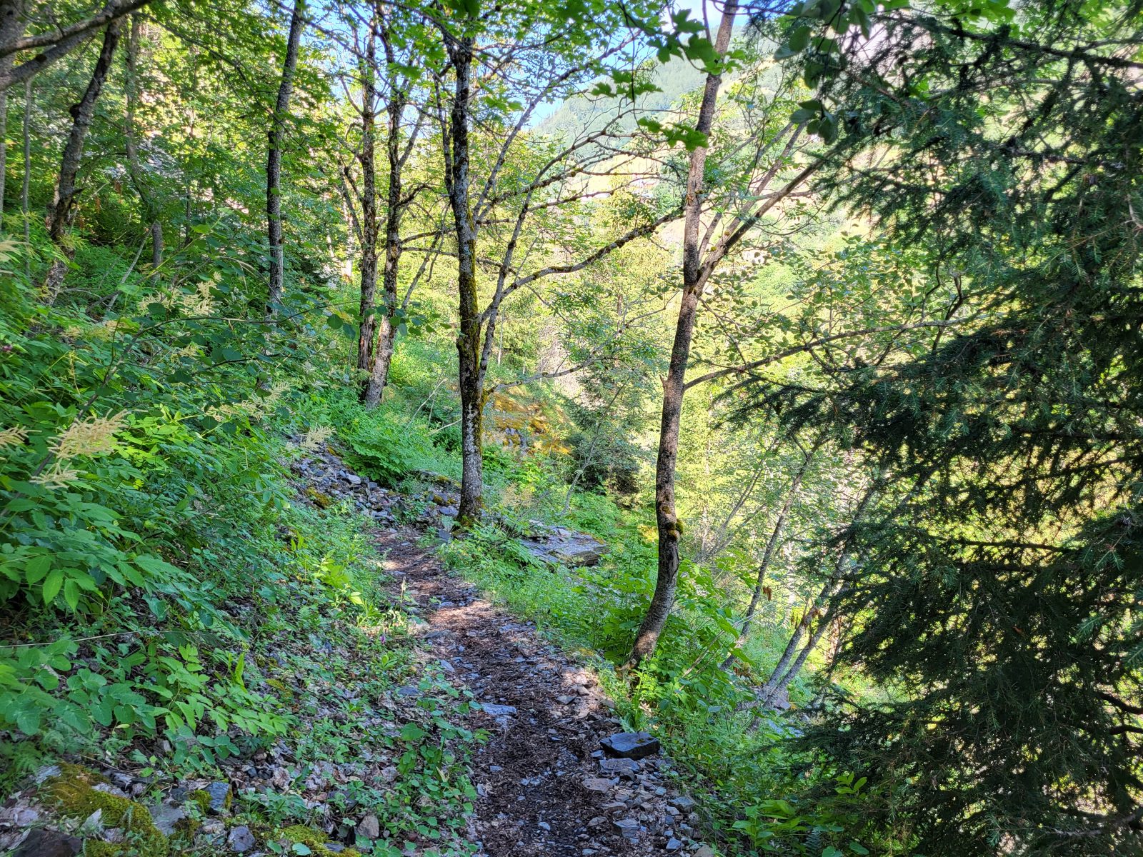
Trail between Le Rosai and the Roman bridge ©Alison Leroy
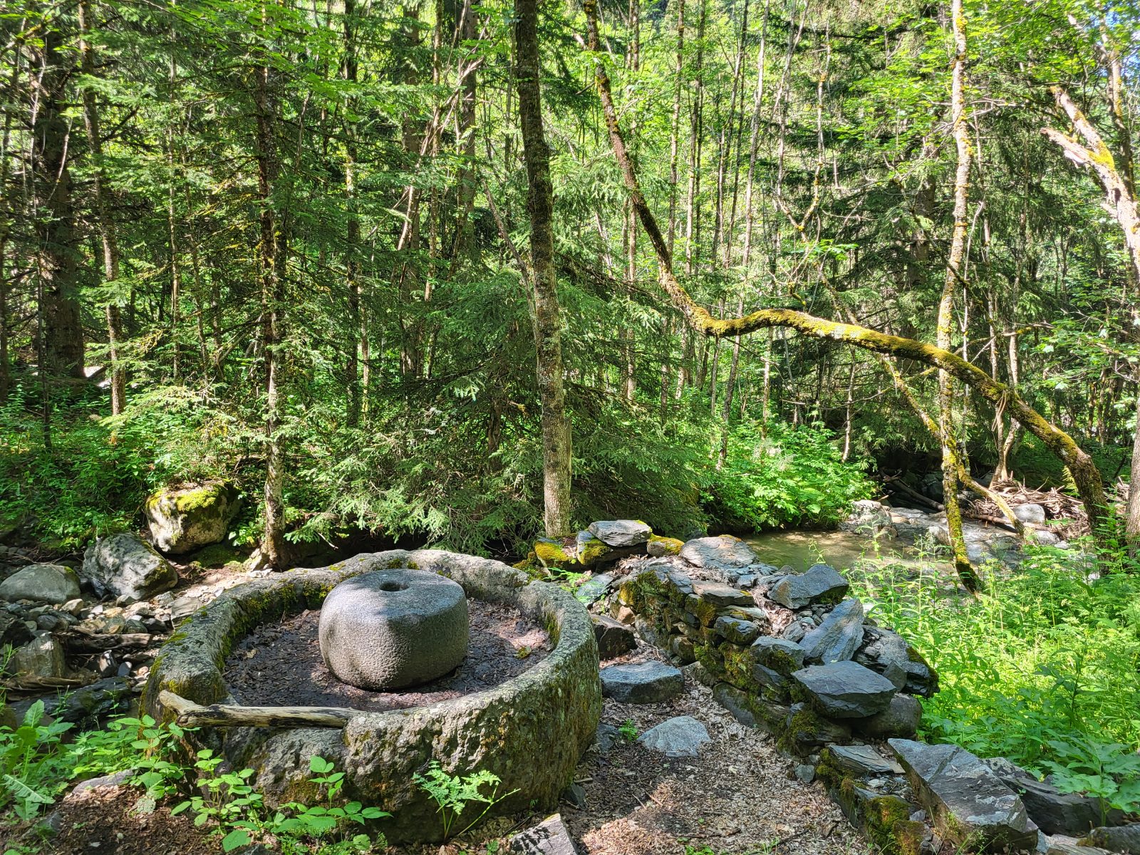
The Mills of Sarenne ©Alison Leroy
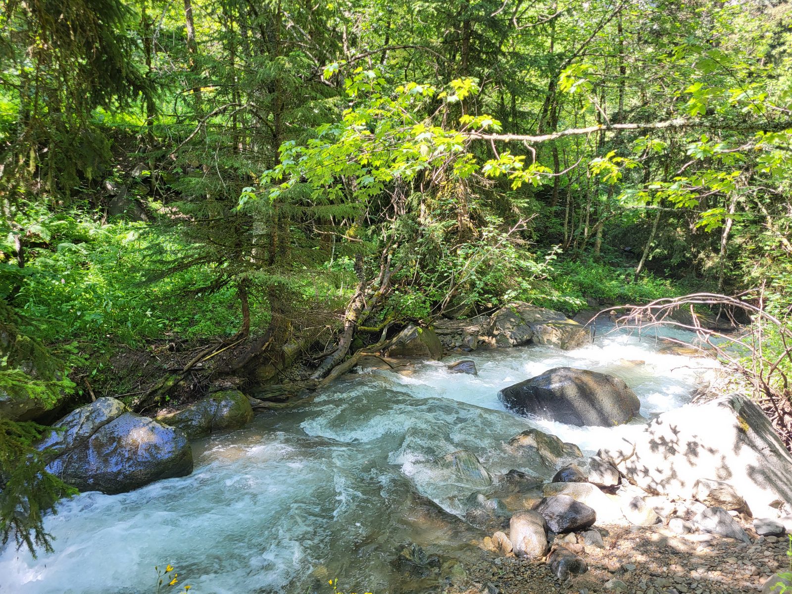
Sarenne river ©Alison Leroy
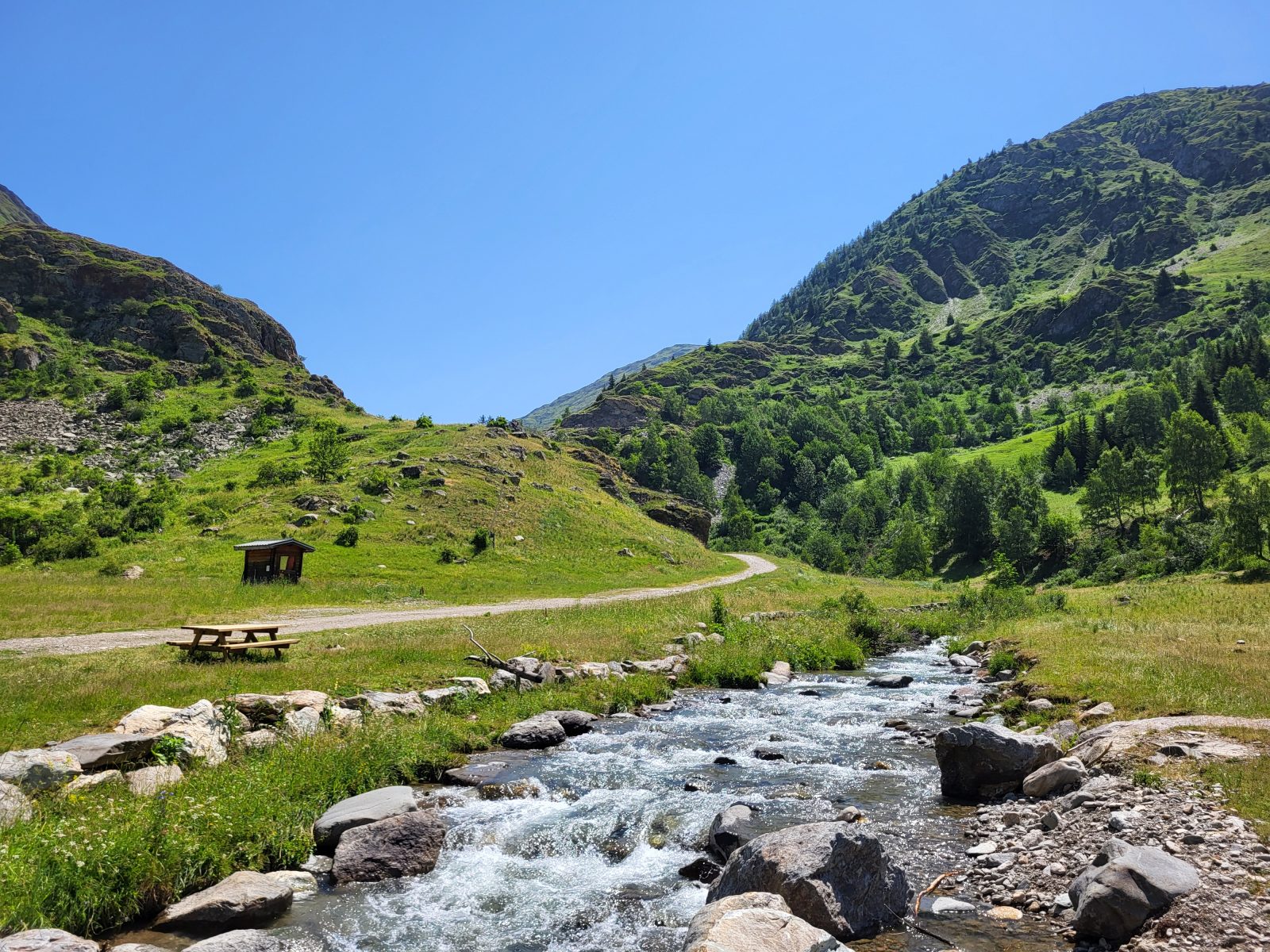
The Sarenne River as seen from Le Gua ©Alison Leroy
Hike through the heart of the Sarenne Gorges and discover the charming hamlet of Rosai and the sun-drenched slopes of the Signal de l'Homme. Follow this trail along the river and enjoy the coolness of the Sarenne and the forest that lines its banks.
À propos : Gorges de Sarenne – Loop hike from Auris en Oisans resort
This hike, designed for experienced hikers, lets you explore the gorges that separate Auris-en-Oisans from Alpe d'Huez. It’s a refreshing route that combines cultural and natural heritage.
You’ll start by climbing the Col de Maronne, above the resort, from where you’ll already catch a glimpse of the famous ski resort connected to the Auris ski area in winter. You’ll then follow a mostly shaded downhill trail until you reach the charming hamlet of Rosai. Be sure to take some time to explore this small mountain village and the Chapel of the Holy Trinity, built by the locals in 1643. You’ll then reach a short section of the GR54, also known as the Tour des Écrins, a multi-day hiking route that’s becoming increasingly popular among hikers. You’ll find remnants of mining activity, notably the base of one of the pylons used to transport anthracite from the Herpie mine—located at an elevation of 2,200 m—down to Bourg-d’Oisans at 765 m.
The route’s most challenging section comes right after this pylon base: a steep, rocky descent that can be slippery after rain. After this slope, you’ll reach La Sarenne and the gorge of the same name, a place that offers undeniable coolness in the height of summer. To cross the river, you’ll walk across the Roman bridge; a small sign will explain the origin of the bridge’s name. A few steps further on, you’ll discover the ruins of old grain mills, built here to harness the power of the Sarenne’s current.
You’ll follow the river for several kilometers, in the shade, before reaching the Gua Bridge. A few picnic tables are available along the trail, and you’ll also pass the Auberge de la Combe Haute, where you can grab a bite to eat or stop for a drink during peak season. On the other side of the river, you’ll spot the Sarenne trail: the world’s longest black run, which starts at the summit of Pic Blanc at an altitude of 3,300 meters!
The Gua marks the turning point as you begin your ascent toward the Col de Cluy and the slopes of the Signal de l’Homme. Feel free to take a break there; look up at the cliffs—you might spot griffon vultures circling in search of their next meal! Then head to Auris via the Signal de l’Homme loop trail. You’ll see the gorges from above and gain a better understanding of the terrain and the route you covered earlier in the day. You’ll enjoy panoramic views of the Grandes Rousses massif (Alpe d’Huez, Auris-en-Oisans) as well as the Belledonne massif.
Map references:
IGN Top 25 Map 3335ET - Le Bourg d’Oisans and Alpe d’Huez
OBP Topographic Map (L’Oisans au Bout des Pieds) No. 3: Trails 301, 260, 252, 339, and 253 (available for purchase at the tourist office)
Accueil : Be sure to bring plenty of water, shoes suitable for walking, a hat or cap, and sunscreen.
Guidebook with maps/step-by-step
From Place des Orgières, take the trail toward the Col de Maronne, which passes by the Sûres mixed-use chairlift station.
At the pass, head toward the hamlet of Le Rosai by taking the only downhill trail at the junction.
About 200 m after leaving the pass via the trail, take the path that branches off to your right. Follow the mostly downhill trail until you reach the upper part of the hamlet of Le Rosai. The trail is marked with yellow blazes.
At the hamlet, turn right, following the signs for GR54, Huez, or the Roman bridge.
The trail becomes steeper and narrower starting at the base of the Fouillet pylon, a remnant of the Herpie mines’ aerial cableway. Follow this single, rocky, downhill trail—which can be slippery after rain—to the Roman bridge.
At the bridge, you’ll find the Sarenne River. Cross the river and turn right. You’ll follow the Sarenne for several kilometers to the Gua Bridge, alternating between a trail and a path that are mostly shaded. It’s a gentle climb.
At the Gua Bridge, leave the GR54 by crossing the Sarenne River again. Then head toward the Col de Cluy by following an ascending trail.
At the Col de Cluy, take the trail on your right toward the Auris-en-Oisans resort. Stay on the trail until you reach the Col de Maronne, which you visited earlier in the day, and begin your final descent toward the resort.
Tips
Keep in mind: part of the trail is exposed. You may be caught off guard by the sun, wind, or rain. Be sure to check the weather forecast before setting out on your hike.
En bref
5 h 00
D+ : 590 m
13.25 km
Level red – hard
Plan et tracé GPX
Gorges de Sarenne – Loop hike from Auris en Oisans resort
Auris-en-Oisans
Services
- Pets welcome
Prestations
Activités
- Durée séance : 300 minutes
Visites
- Durée moyenne de la individuelle : 300 minutes
Ouverture
From 15/05 to 31/10 daily.
The periods during which the trails are accessible vary from year to year depending on snow cover and weather conditions. In addition, trail conditions can change rapidly after a weather event and are not checked daily. If you encounter a section of the trail that is in poor condition or dangerous, turn back and report it to the tourist office upon your return.
Subject to favorable snow and weather conditions.
Tarifs
Free access.
Accueil animaux
Dogs must be kept on a leash along the entire route. At certain times of the year (late spring, summer, early fall), herds and guard dogs are present in the mountain pastures. Make sure your dog is socialized with all types of animals.
Ce prestataire vous propose aussi