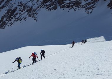
6421691-diaporama
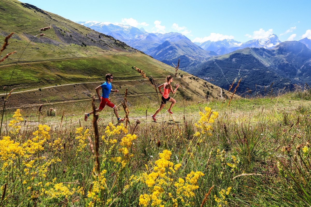
Quite a long half-day run, with significant height gain, mostly in pastureland.
À propos : Rando trail N°14 – La Croix de Cassini
A 21.3 km loop starting from Auris en Oisans tourist office, with significant height gain (+ 1174m). The route takes you up to the Croix de Cassini (a landmark used by the cartographer of the same name in the 17th century), where runners are treated to a 360° view. You are now in the heart of the Alpes, so take a moment to enjoy the sights of Mont Blanc, the Meije and a host of other summits... with the Plateau d'Emparis and the Ferrand and Romanche valleys closer to your feet. Run back down via the Col de Sarenne, to see the longest ski slope in Europe (16km), as well as the road cycled by Tour de France competitors this summer.
En bref
D+ : 1174 m
21.3 km
Level bue - Medium
Plan et tracé GPX
Rando trail N°14 – La Croix de Cassini
Auris-en-Oisans
À télécharger
Ouverture
From 01/05 to 31/10.
Subject to favorable snow and weather conditions.
Tarifs
Free access.
Complément de localisation
Start and finish at Auris en Oisans tourist office