1543326-diaporama
3909258-diaporama
1543327-diaporama
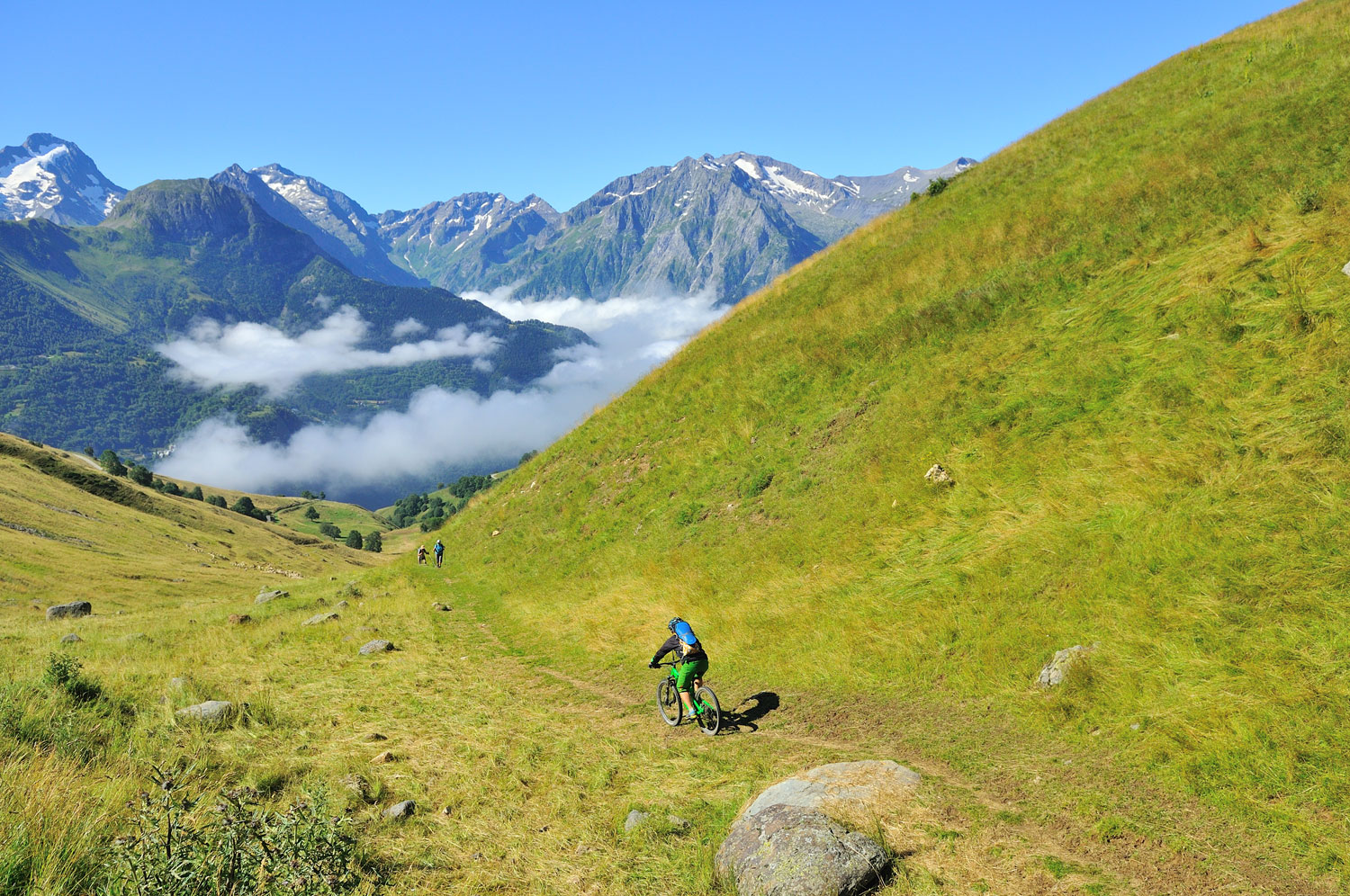
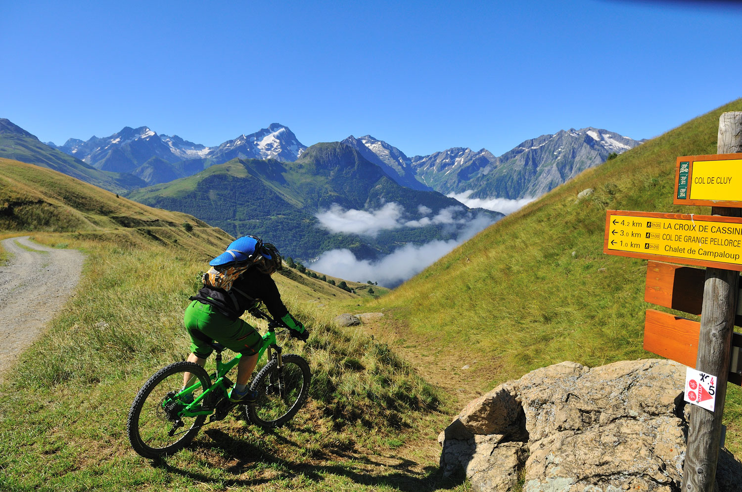
This ride around the Signal de l'Homme offers amazing views over the Grandes Rousses and the Sarenne Valley. Then once over the Col de Cluy, it's the turn of the Massif des Ecrins to take your breath away!
About : The Signal de l’Homme ride
Route in the “MTB in Oisans” guide (Oisans Tourisme)
Departure / Arrival (loop): Auris-en-Oisans (ski resort) 1600 m
Time: 2 hours
Distance: 9.5 km
Highest point: 1800 m
Lowest point: 1530 m
Total ascent: 312 m
Total descent: -312 m
Technique: 1.5/4
Endurance: 1.5/4
Map: Top 25 Bourg d'Oisans et l'Alpe d'Huez 3335 ET
ROUTE
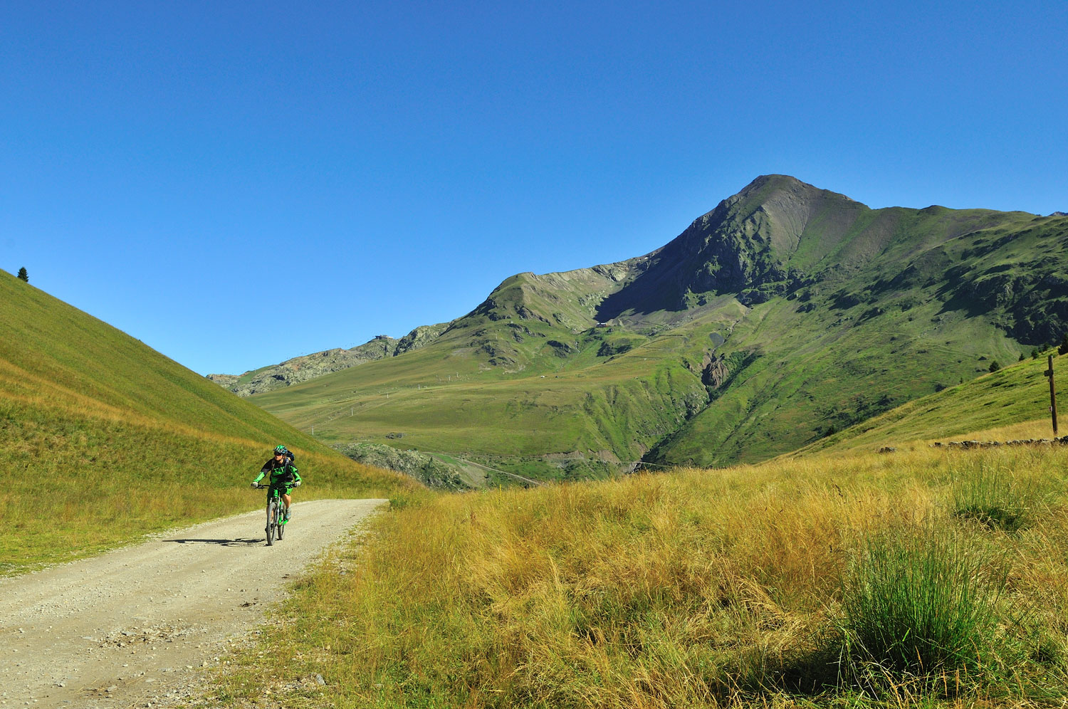
From the Orgières car park in Auris-en-Oisans, take the path up to the Col de Maronne. Once at the Col, carry on to the right on a well-marked 4WD track that leads to the Col de Cluy.
From the Col de Cluy, take the grassy path down to the right towards La Chapelle Saint-Giraud. This descent through pastureland is slightly more technical, but has no specific difficulties. The path is not too steep and is wide enough for you to put your feet down if necessary (although you also have the option of avoiding this section by continuing along the track, which also leads to la Chapelle).
The path joins back up with the track, which you take to the right. Ride past the chapel at Cluy, before arriving at La Chapelle Saint-Giraud just above the road.
From here, take the path that goes off to the rear, which climbs gradually up to Auris (you can also ride back on the road).
En bref
2 h 00
J+ : 312 m
9.5 km
Level green – easy
Map and GPX marking
The Signal de l’Homme ride
Auris-en-Oisans
Opening
From 01/06 to 31/10.
Subject to favorable snow and weather conditions.
This service provider also offers

Location supplement
Leave your car in the Orgières car park at the entrance to Auris en Oisans.