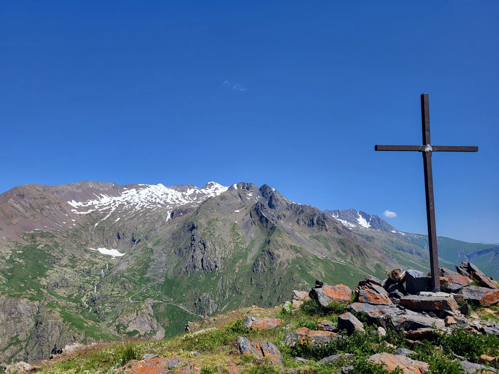
La Croix de Cassini ©Alison Leroy

Cassini Cross ©Laurianne Mahé
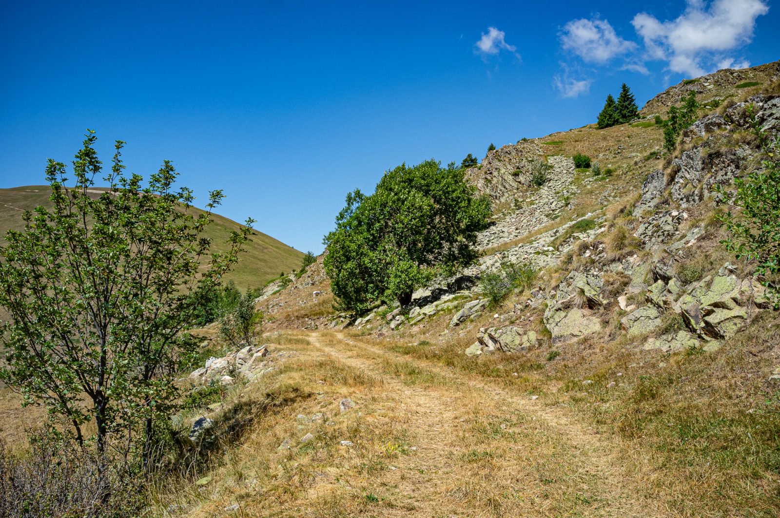
Cassini Cross Trail
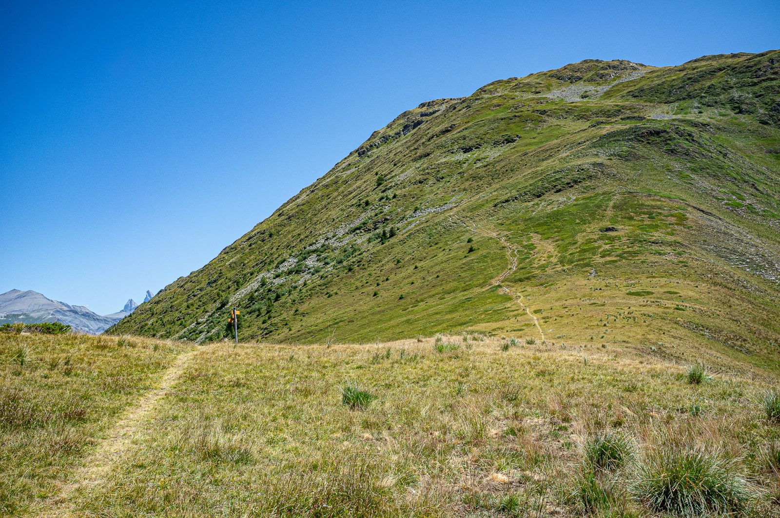
The final ascent to the Croix de Cassini
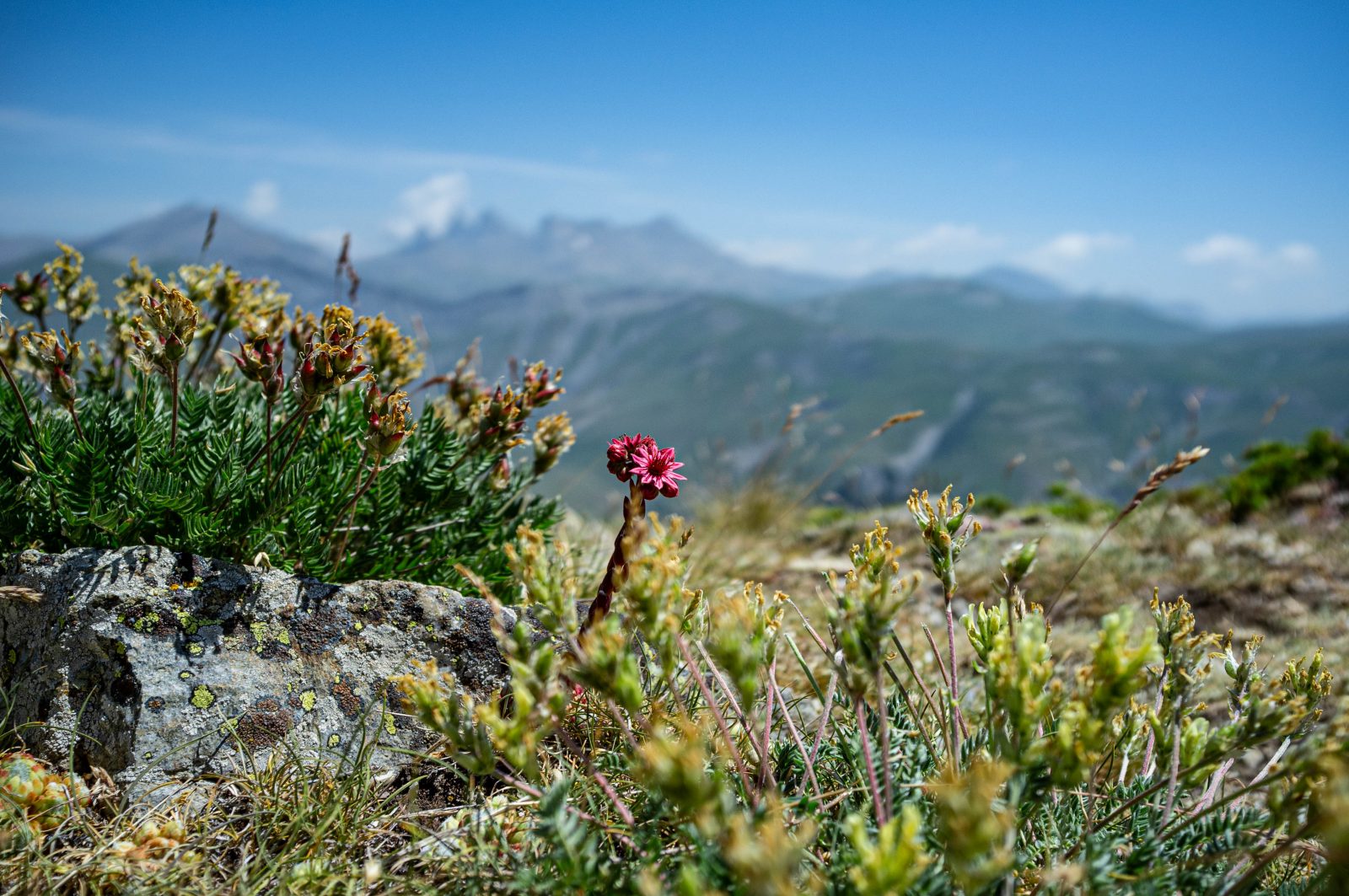
Spiderweb houseleek in front of the Aiguilles d’Arves
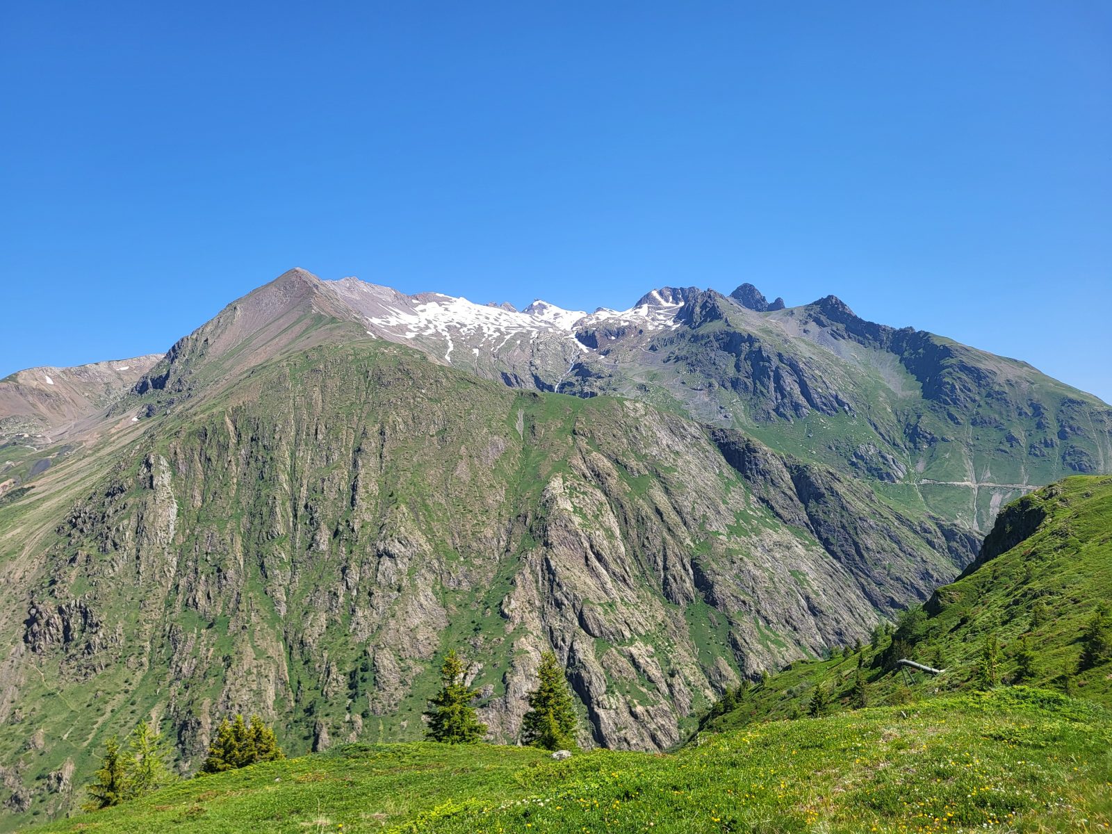
Les Grandes Rousses as seen from the trail ©Alison Leroy
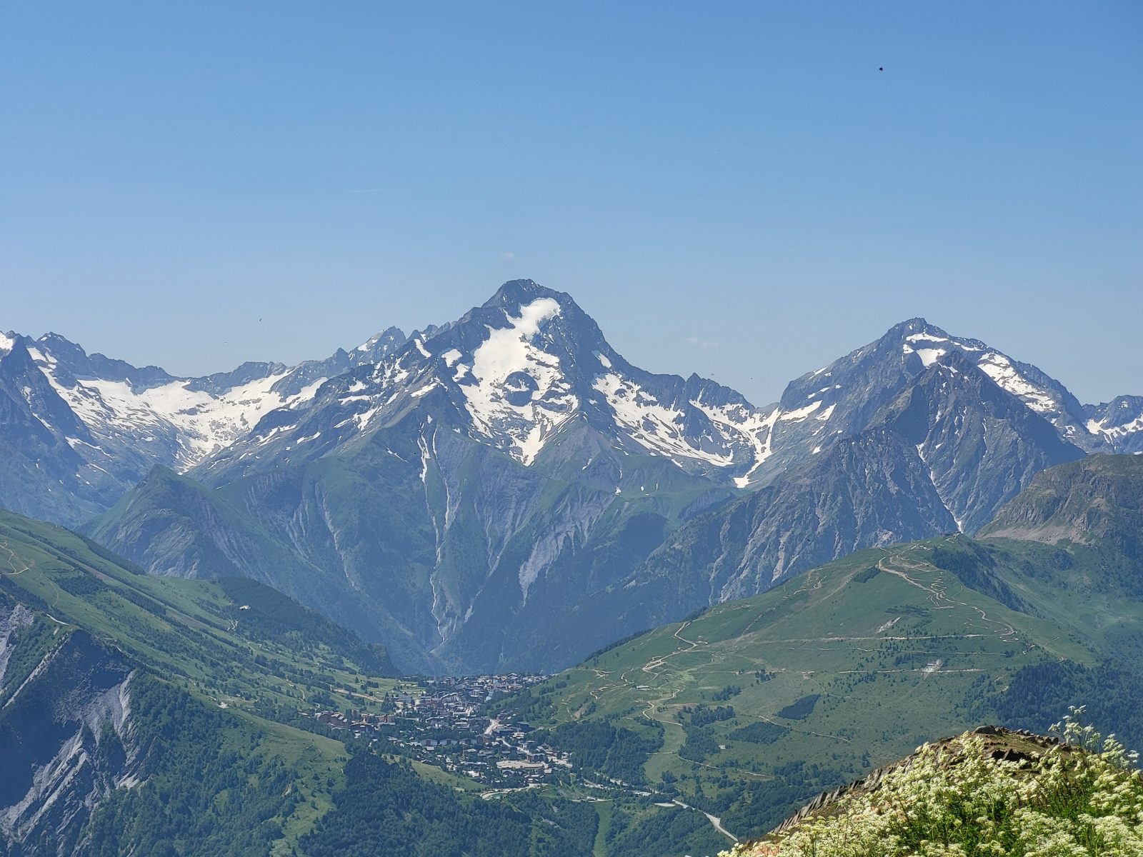
La Roche de la Muzelle and Les Deux Alpes ©Alison Leroy
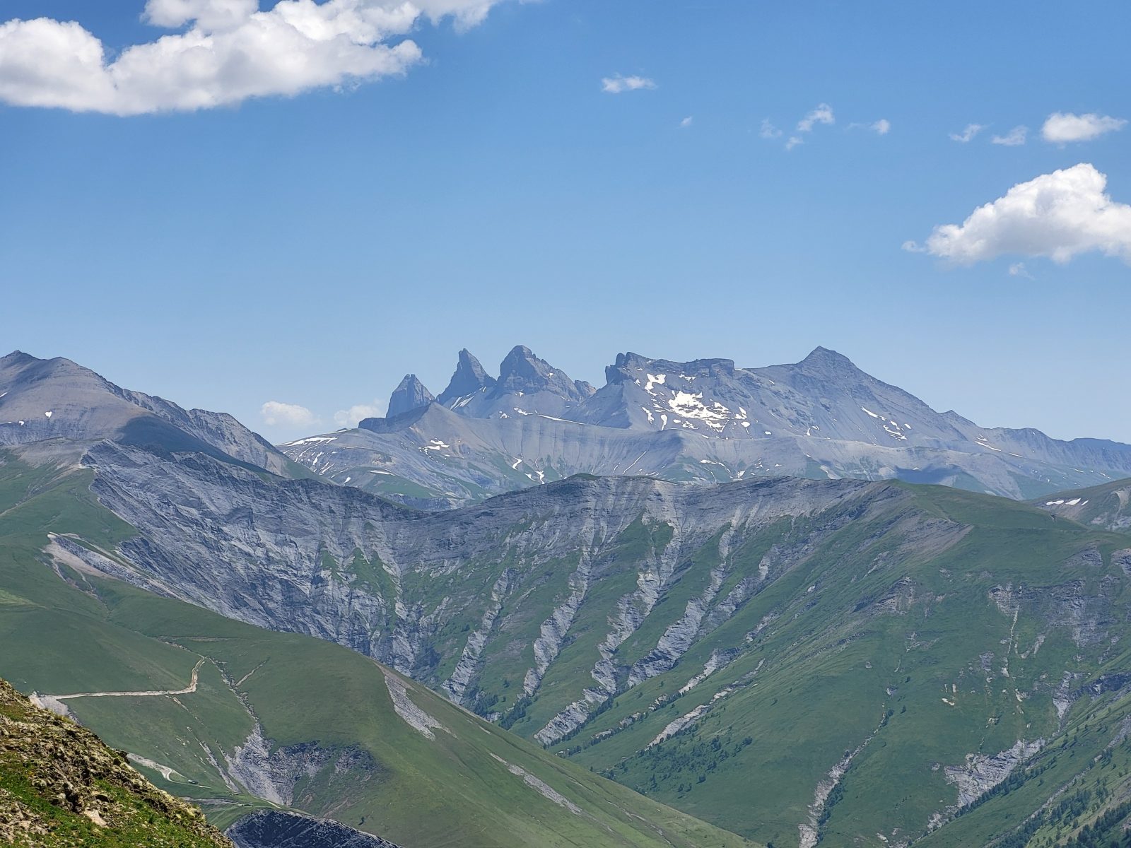
The Aiguilles d’Arves ©Alison Leroy
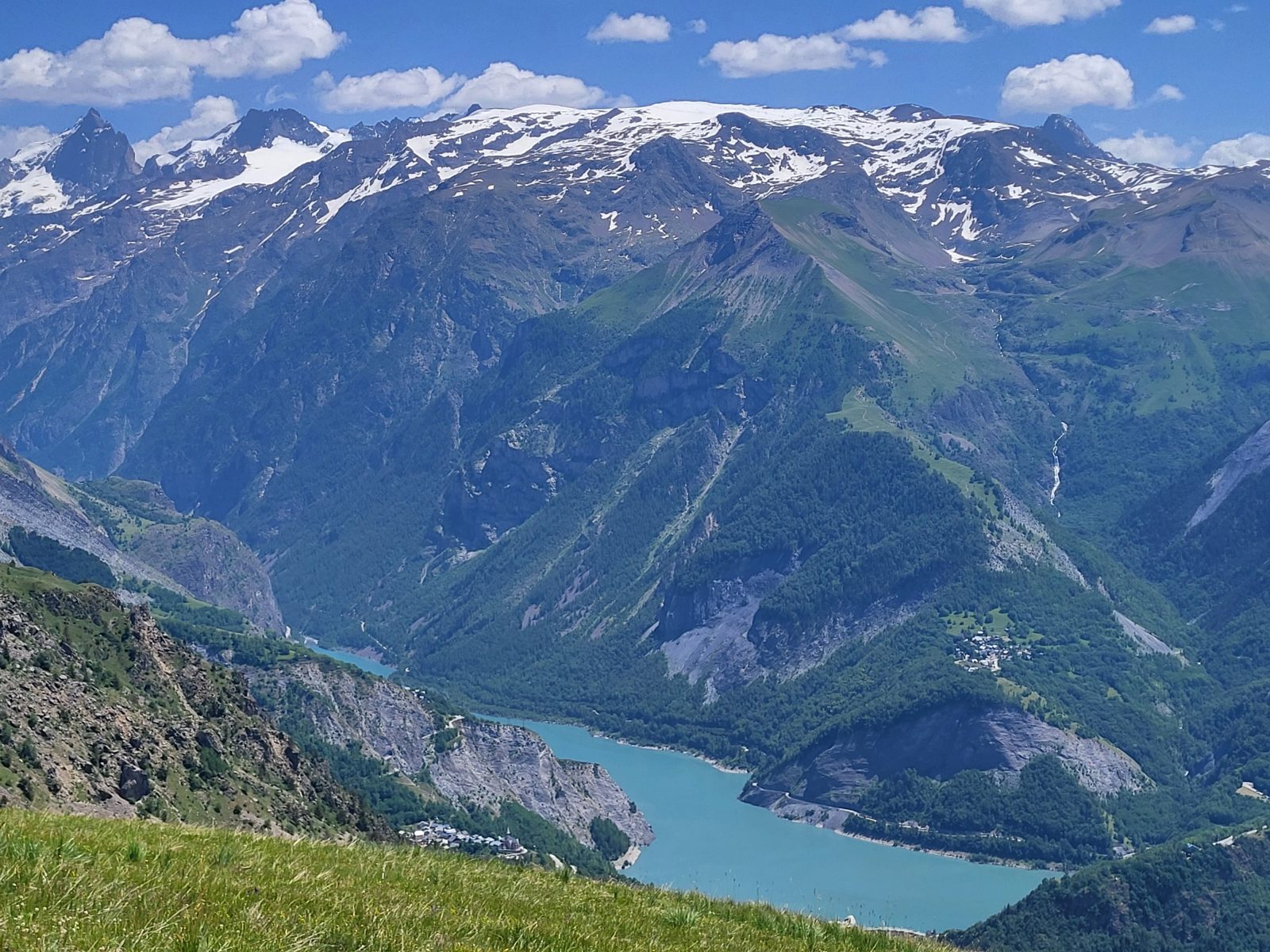
Lake Chambon and the Écrins Massif ©Alison Leroy
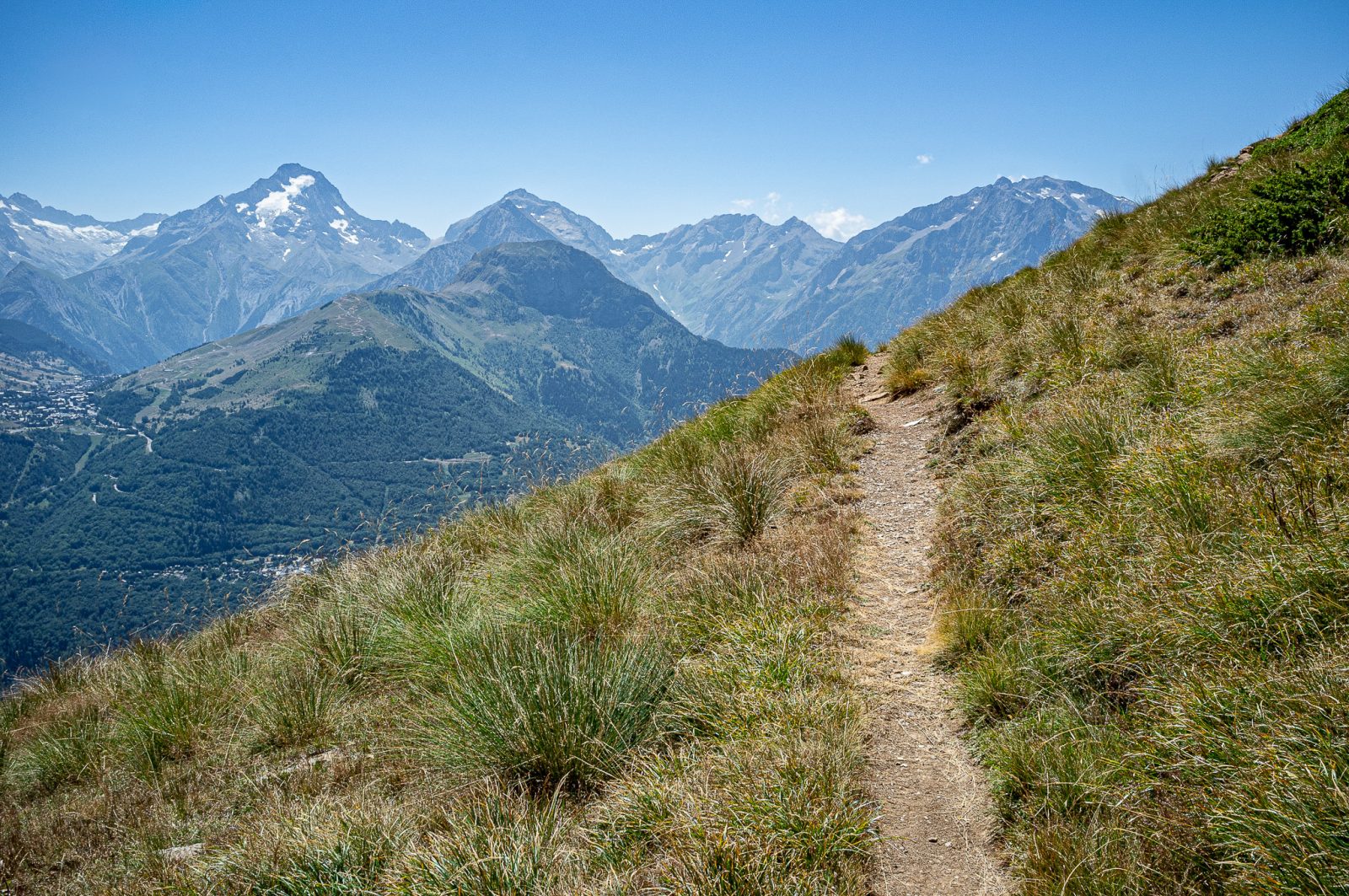
On the Way Back
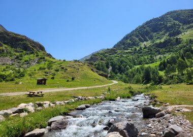
A stunning route through the alpine pastures that offers an incredible 360° view of the surrounding peaks and mountain ranges upon arrival; one of the most beautiful viewpoints in the Oisans region.
À propos : La Croix de Cassini – hike from Auris Station
MAP AND HIKING GUIDE
IGN TOP 25 Map - 3335ET - LE BOURG-D'OISANS, L'ALPE D'HUEZ, GRANDES ROUSSES, SEPT LAUX
OBP Trail Map No. 3 (Oisans au Bout des Pieds), trails 312, 254b, and 255
ITINERARY
You’ll start on a narrow, balcony-like trail offering beautiful views of the Écrins Massif, particularly the Roche de la Muzelle, majestic with its glacier and rocky ridge.
Shortly after the pretty chapel of Saint-Géraud, you’ll take a pastoral trail that leads to the hamlet of Cluy, with its few buildings, including the Auris-en-Oisans sheepfold. Following the trail that climbs through the alpine pasture, you’ll reach a spot known as “Sous le Col de Cluy,” where a grassy trail leads you to the Chalet de Campaloup.
It turns into a trail that climbs the slope of the Grandes Buffes mountain, almost to its summit. It then continues, beneath the flight of griffon vultures, to the Col de Grange Pellorce.
Here, the final ascent awaits you, leading to the summit with its cross at 2,373 meters. You’re at the center of a 360° view of an exceptional panorama.
HIGHLIGHTS ALONG THE ROUTE
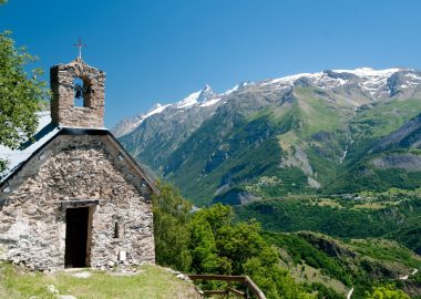
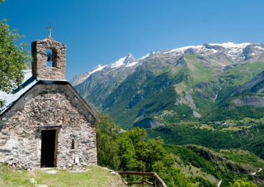
- Saint-Géraud Chapel and Lookout: A bench with a view of La Meije is located next to the small chapel.
- Views of the Meije Glacier, the Écrins Massif, Les 2 Alpes, then the Grandes Rousses, Sarenne, the Aiguilles d’Arves, and the Emparis Plateau.
- Cassini’s Cross: It was because of the unique, unobstructed views from its summit that King Louis XV’s surveyor, Cassini III, chose this spot for his mapping of the region in 1739. He named it after himself to commemorate the “visit” of this illustrious representative of the King to the valley. The Croix de Cassini was erected by M. Reymond and F. Pichoud around 1975; the exact date is unknown.
GOOD TO KNOW
- Who hasn’t heard of NASA’s Cassini space probe, launched by a Titan rocket from Cape Canaveral in 1997 and which reached Saturn’s vicinity in 2004? But how many people know who the astronomer of that name was? A Savoyard astronomer and engineer who became a naturalized French citizen in 1673, he was the first director of the Paris Observatory. The Cassini Cross was chosen as the site for the observatory in the 19th century.
Accueil : Be sure to bring plenty of water, shoes suitable for walking, a hat or cap, and sunscreen.
Visitor alert
This trail passes near alpine pastures, so you may encounter livestock guard dogs. Find out what to do in such situations at the tourist office or on Pasto-kézako.fr.
Are you hiking with your dog? Your dog must be kept on a leash at all times during your hike, but must be let off the leash if you encounter a guard dog so that the interaction can take place as naturally as possible.
Tips
Keep in mind: part of the trail is exposed. You may be caught off guard by the sun, wind, or rain. Be sure to check the weather forecast before setting out on the hike.
Guidebook with maps/step-by-step
The trailhead is located behind the Odalys hotel complex, marked by a sign pointing toward the Col de Cluy. You’ll start on a narrow trail that, after the first turn, leads you along a scenic path to the Saint-Géraud Chapel. Leave the chapel on your right and continue until you reach a dirt road. Take it to the left; the Col de Cluy is still marked on the directional signpost.
Follow the road until you reach the small hamlet of Cluy, consisting of a few stone buildings, including the sheepfold. A little further on, leave the road to the left and take a trail that climbs fairly steeply toward the pass (which is 800 meters away). The trail rises above the track, and a marker confirms you’re heading in the right direction.
At the intersection of the trail and the track, a directional sign directs you toward the Croix de Cassini, following a grassy track that climbs gently toward the southeast. Near the Campaloup chalet, after a directional sign confirms your direction, the trail turns into a footpath and climbs more steeply until it approaches the summit of the Grandes Buffes, which you’ll skirt to the east along the mountainside. This trail continues to the Col de Grange Pellorce, between the Grandes Buffes and the Croix de Cassini. The directional sign points to the steep ascent that will take you to the summit along a well-marked trail.
The return trip follows the same trail.
En bref
D+ : 977 m
15 km
Level black - very hard
Plan et tracé GPX
La Croix de Cassini – hike from Auris Station
Auris-en-Oisans
Équipements
- Public WC
- Car park
- Parking nearby
- Free car park
Services
- Pets welcome
Ouverture
From 01/05 to 30/10 daily.
The periods during which the trails are accessible vary from year to year depending on snow cover and weather conditions. In addition, trail conditions can change rapidly after a weather event and are not checked daily. If you encounter a section of the trail that is in poor condition or dangerous, turn back and report it to the tourist office upon your return.
Tarifs
Free access.
Ce prestataire vous propose aussi

Auris-en-Oisans