Signal de l’Homme Summit – Hike from Auris-en-Oisans_Auris-en-Oisans ©Alison Leroy
Signal de l’Homme Summit – Hike from Auris-en-Oisans_Auris-en-Oisans ©Alison Leroy
Signal de l’Homme Summit – Hike from Auris-en-Oisans_Auris-en-Oisans ©Alison Leroy
Signal de l’Homme Summit – Hike from Auris-en-Oisans_Auris-en-Oisans ©Alison Leroy
Signal de l’Homme Summit – Hike from Auris-en-Oisans_Auris-en-Oisans ©Alison Leroy
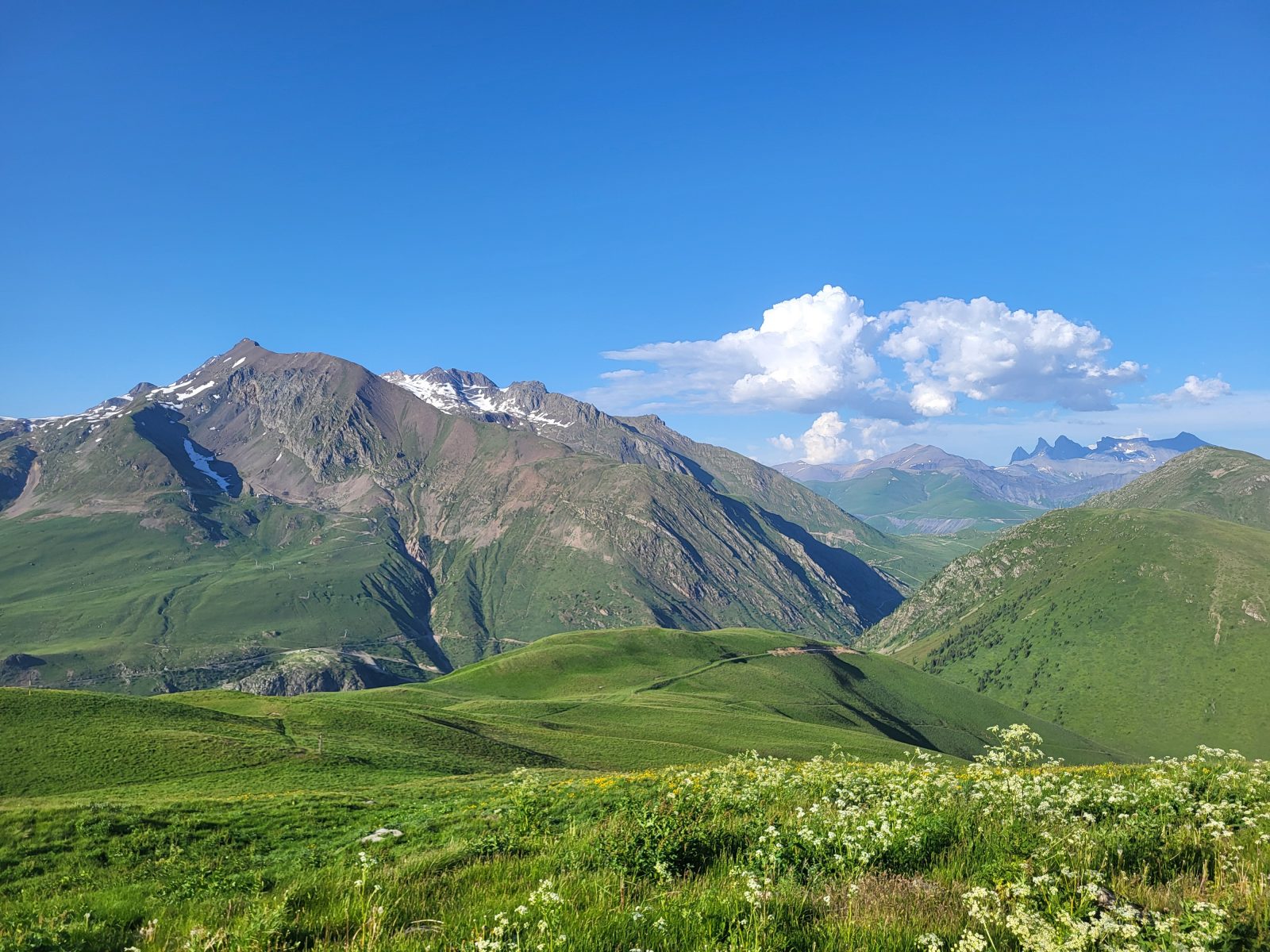
Signal de l’Homme Summit – Hike from Auris-en-Oisans_Auris-en-Oisans ©Alison Leroy
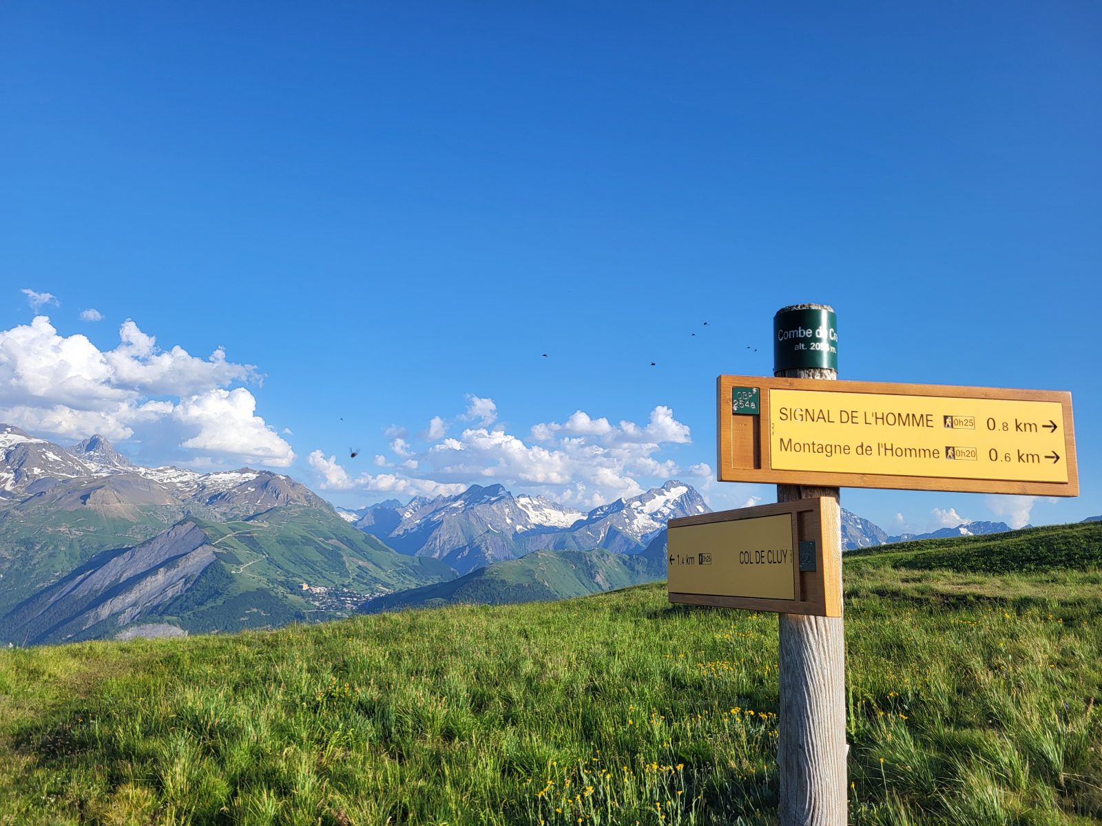
Signal de l’Homme Summit – Hike from Auris-en-Oisans_Auris-en-Oisans ©Alison Leroy
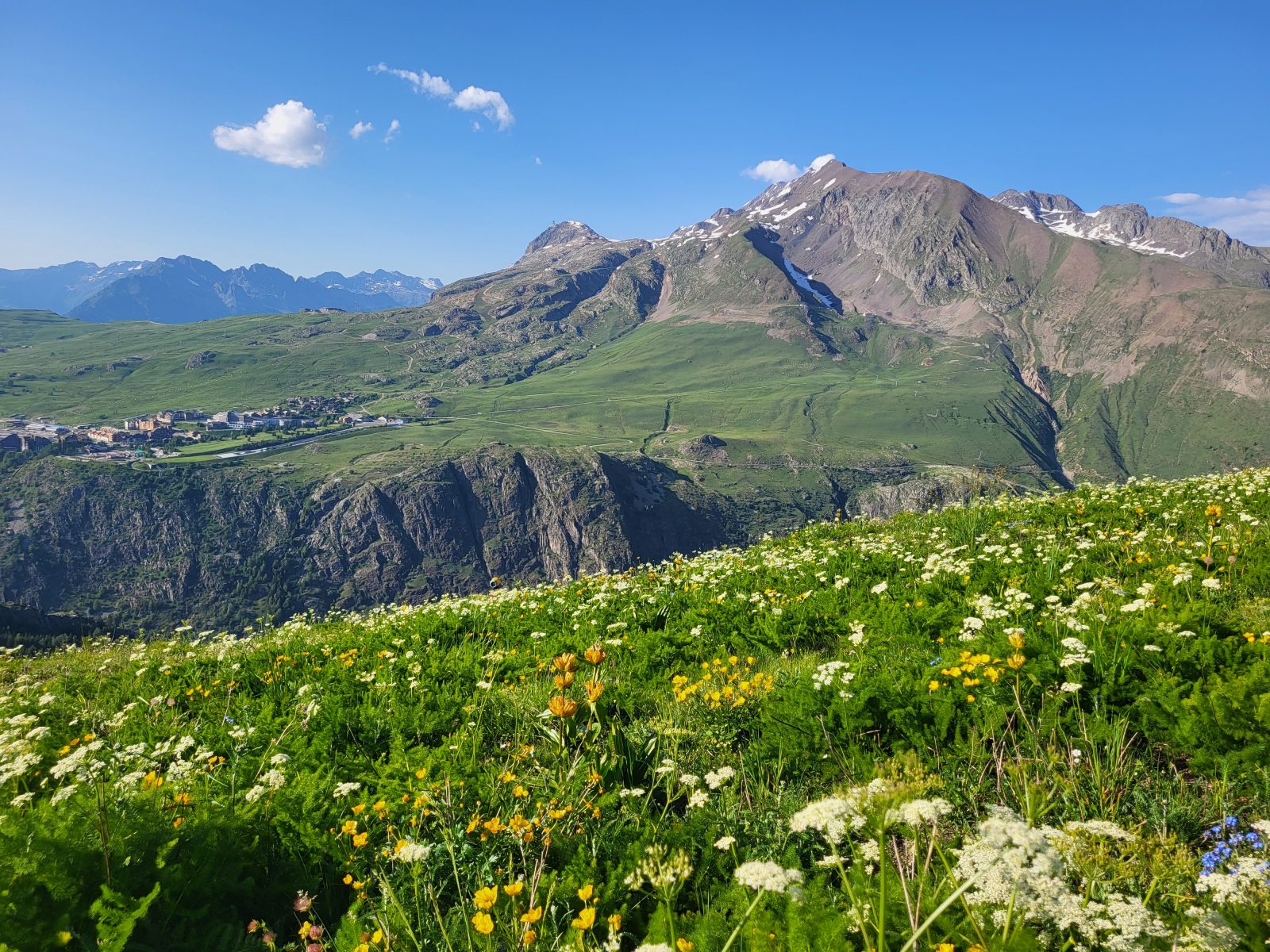
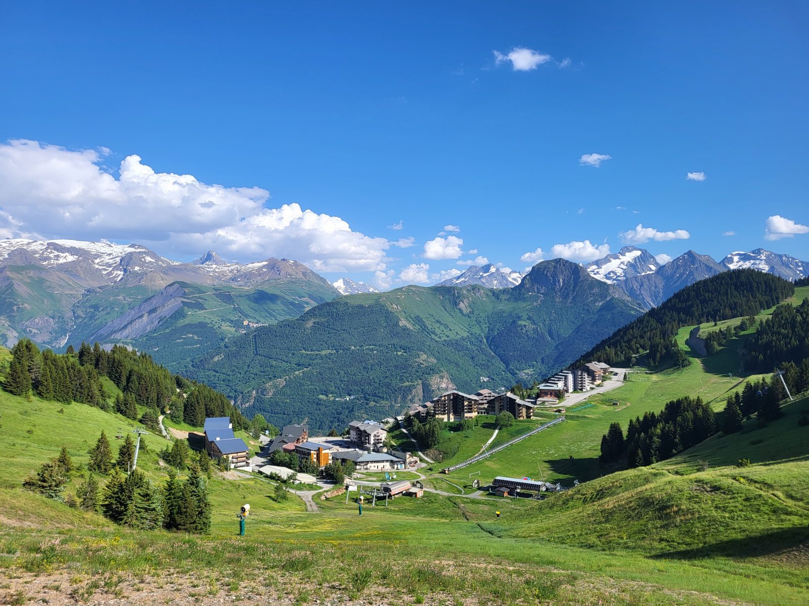
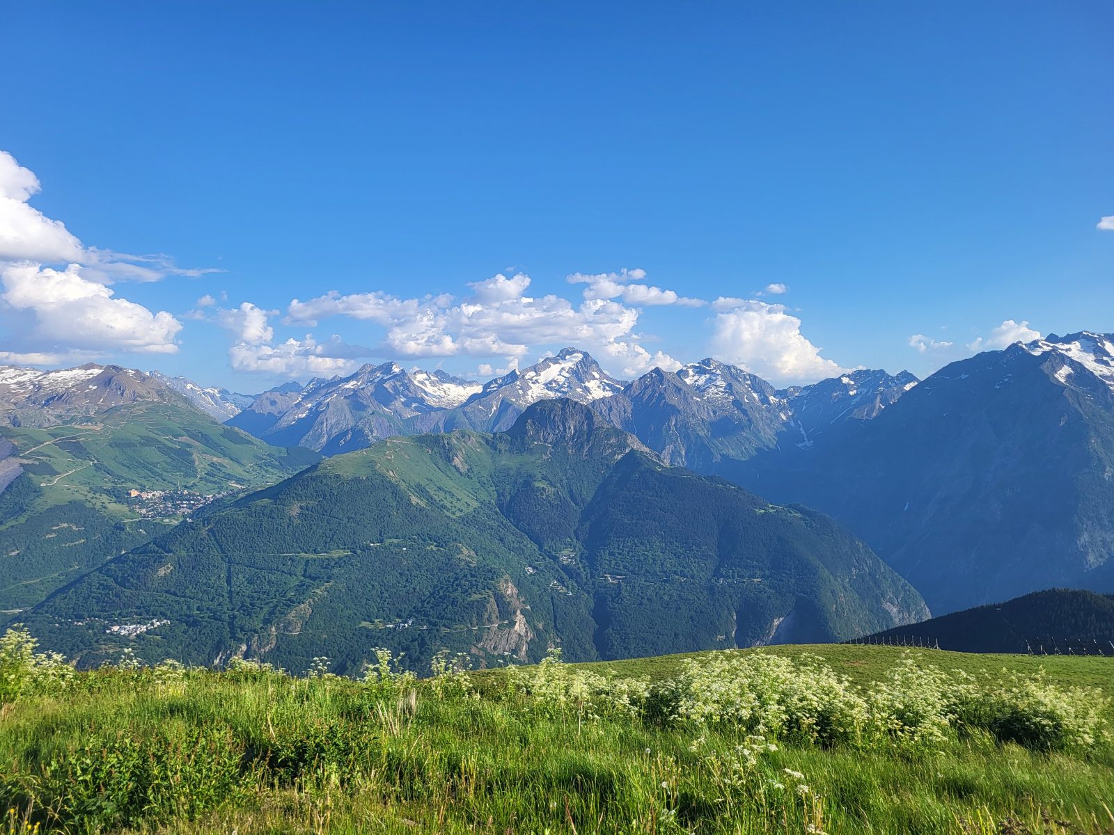
Hike to the Signal de l'Homme and climb to a higher vantage point to enjoy a 360-degree panoramic view of the mountains. From the summit, at an elevation of 2,176 meters, admire the Grandes Rousses, Écrins, Taillefer, and Belledonne mountain ranges.
À propos : Signal de l’Homme Summit – Hike from Auris-en-Oisans
Starting from Auris-en-Oisans, set out to conquer the summit overlooking the resort. You’ll hike toward the highest point, alternating between trails and ski runs. Step by step, you’ll gain elevation. At the summit, you’ll be rewarded with an unobstructed panoramic view of the Oisans mountain ranges. Le Signal is the perfect spot for a well-deserved picnic after this climb of nearly 700 meters in elevation gain on varied terrain, part of which is groomed for skiing in winter.
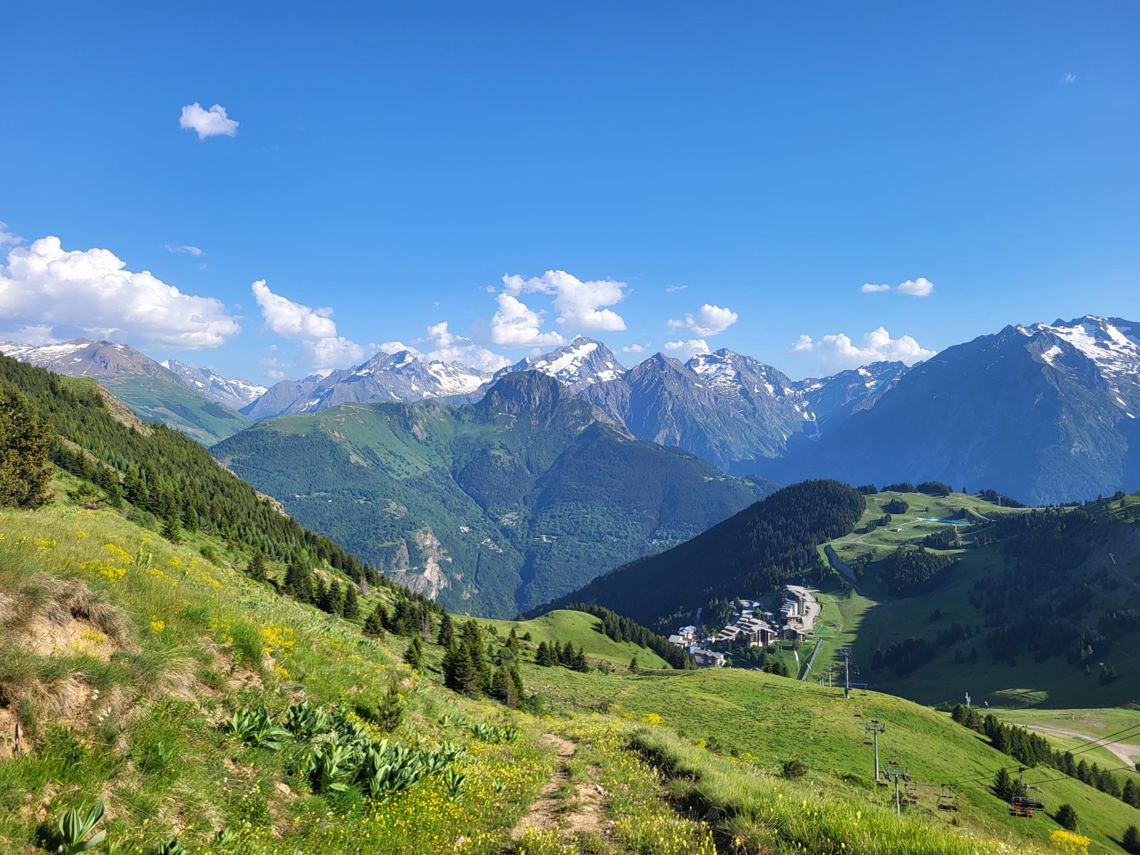
On the descent, you’ll follow a pleasant trail through alpine pastures, from which you’ll catch sight of Lake Chambon, the Grandes Buffes, and the Croix de Cassini. In early summer, the trail’s edges will be dotted with colorful wildflowers. Keep an eye out; you might spot a few bird species that enjoy the peace and cool mountain air, such as the redstart or the white wagtail. You’ll then reach the Col de Cluy and the hamlet of the same name below. The hamlet is home to the Sainte-Ilpice Chapel and welcomes shepherds and their flocks of sheep during the summer grazing season. Before reaching the resort, you’ll pass by the Saint-Géraud Chapel, a final pleasant stop where you can admire the Écrins Massif and the hamlets of Auris-en-Oisans.
Map references:
OBP topographic map (L’Oisans au Bout des Pieds) No. 3: trails 254A, 253, and 348 (available for purchase at the tourist office).
IGN Top 25 Map 3335ET – Le Bourg d’Oisans and Alpe d’Huez
Accueil : Be sure to bring plenty of water, sturdy walking shoes, a hat or cap, and sunscreen.
Tips
Keep in mind: the trail is exposed. You may be caught off guard by the sun, wind, and rain. Be sure to check the weather forecast before setting out on your hike. It’s cooler at the summit, so bring something to cover up with so you can stay as long as you like.
Guidebook with maps/step-by-step
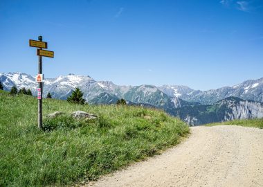
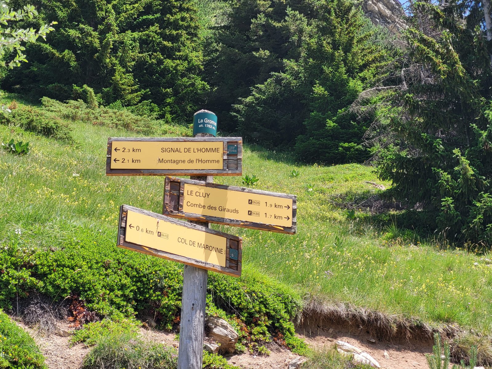
From Place des Orgières at the Auris-en-Oisans station, head toward the Col de Maronne via the gravel road that runs behind the Vacancéole resort. Continue along the trail until you reach the pass; you’ll pass by the barbecue area. At the pass, head toward the Signal de l’Homme. Continue to La Grome by following the PDIPR trail markers (yellow signs and arrows), then continue toward the Signal de l’Homme, located 2.3 km away. You’ll walk along a path before reaching a trail used for skiing in winter. Continue walking toward the summit, and you’ll arrive at the Fontfroide chairlift (operational in winter). Take the path leading to the Signal behind the trail information sign to gain more elevation and enjoy the panoramic view of the surrounding mountain ranges.
To descend, return to Fontfroide below the signal. Then follow the alpine trail on your right toward the Crosel valley, then toward the Col de Cluy. From the Col de Cluy, head toward the hamlet of Cluy by following the descending trail. You’ll come to a sign pointing to the Saint-Géraud Chapel; follow this direction to reach the Auris-en-Oisans resort.
Visitor alert
This trail passes near alpine pastures, so you may encounter livestock guard dogs. Find out how to behave appropriately by contacting the tourist office or visiting Pasto-kézako.fr. Are you hiking with your dog? Your dog must be kept on a leash during your hike but should be let off the leash if you encounter a guard dog so that the interaction can take place as naturally as possible.
En bref
5 h 00
D+ : 662 m
10 km
Level red – hard
Plan et tracé GPX
Signal de l’Homme Summit – Hike from Auris-en-Oisans
Auris-en-Oisans
Équipements
- Parking nearby
Services
- Pets welcome
Prestations
Activités
- Durée séance : 300 minutes
Visites
- Durée moyenne de la individuelle : 300 minutes
À télécharger
Ouverture
From 15/05 to 31/10 daily.
The periods during which the trails are accessible vary from year to year depending on snow cover and weather conditions. In addition, trail conditions can change rapidly after a weather event and are not checked daily. If you encounter a section of the trail that is in poor condition or dangerous, turn back and report it to the tourist office upon your return.
Tarifs
Free access.
Accueil animaux
Dogs must be kept on a leash along the entire route. At certain times of the year (late spring, summer, early fall), herds and guard dogs are present in the Signal de l'Homme mountain pastures.
Ce prestataire vous propose aussi

Auris-en-Oisans