6713306-diaporama
6713249-diaporama
A beautiful, long hike starting in Auris, passing through the shady and refreshing Sarenne Gorges before reaching the village of Huez. You’ll head back up to the Alpe d’Huez resort and return to Auris via the Sarenne road and the Tour de l’Homme.
À propos : Auris > Huez > Alpe d’Huez, en boucle – Hiking
A hike rich in history, heritage, and scenery, with the Sarenne Gorges serving as a link between Auris and Alpe d'Huez. A refreshing and secluded spot that’s perfect for fishing and picnicking near the ruins of the old mill.
TECHNICAL INFORMATION
Start: Auris-en-Oisans
Elevation gain: 820 m
Round-trip duration: 8 hours
Distance: 18 km
MAP AND GUIDE
OBP Map/Guide No. 2 and 3 = trails 301 + 260 + 265 + 251 + 267 + 339 + 253.
IGN Top 25 Bourg d'Oisans and l'Alpe d'Huez 3335 ET.
ITINERARY
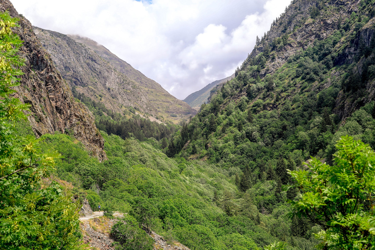
Starting from Auris-en-Oisans, follow the trail toward Col de Maronne. At the center of the crossroads, take the vehicle trail, which is a ski trail in winter. After a short distance, you’ll find a forest trail on the right leading to the hamlet of Maronne and then Rosay.
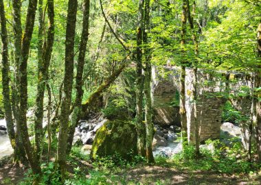
After the hamlet of Le Rosay, descend to the Roman bridge in the Sarenne Gorge. Once you cross the Roman Bridge, continue toward Huez on the left.
In Huez, you can take the gondola or the free shuttle (check summer operating hours) between Huez village and Alpe d’Huez to save time
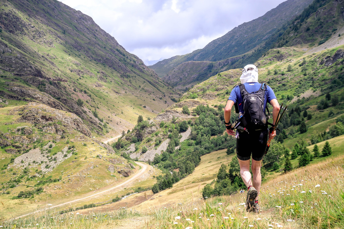
At Alpe d’Huez, head up to the Altiport and take the road toward Col de Sarenne (paved road, passing near the Brandes archaeological site).
Reach the Gua Bridge and follow signs for Auris station.
This route crosses a mountain pasture; you may encounter livestock guard dogs. Check with the tourist office to learn the proper way to interact with them.
SIGHTS ALONG THE ROUTE
- The hamlet of Rosai, known for its well-maintained stone houses typical of the region and its 15th-century Chapel of the Holy Trinity.
- The Roman Bridge, on the route of the ancient “Roman road,” which connected Grenoble to Italy via the Lautaret Pass and the Romanche Valley.
- Near the bridge, you’ll find old water mills.
- Along the way, you’ll pass the Saint-Ilpice Chapel in the isolated hamlet of Cluy and the Saint-Géraud Chapel.
- On the glaciers of La Meije and Les 2 Alpes.
GOOD TO KNOW:
- La Sarenne is "the longest black run in Europe." In fact, the trail you’re taking is, in winter, the end of this legendary ski run. It starts at Pic Blanc, at an altitude of 3,300 meters, where you’ll enjoy a 360-degree view of the surrounding mountains.
Dogs must be kept on a leash at all times due to the presence of herding dogs during certain times of the year.
En bref
8 h 00
D+ : 820 m
18 km
Level black - very hard
Plan et tracé GPX
Auris > Huez > Alpe d’Huez, en boucle – Hiking
Auris-en-Oisans
Services
- Pets welcome
Prestations
Activités
- Durée séance : 480 minutes
Visites
- Durée moyenne de la individuelle : 480 minutes
À télécharger
Ouverture
From 01/05 to 31/10 daily.
The periods during which the trails are accessible vary from year to year depending on snow cover and weather conditions. In addition, trail conditions can change rapidly after a weather event and are not checked daily. If you encounter a damaged or dangerous section, turn back and report it to the tourist office.
Subject to favorable snow and weather conditions.
Tarifs
Free access.
Ce prestataire vous propose aussi