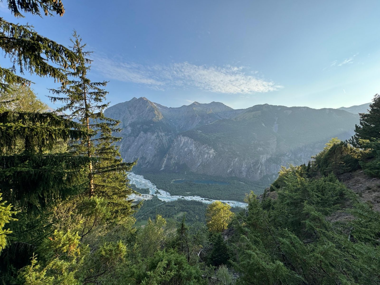
Vénéon Valley and Lake Buclet at sunset
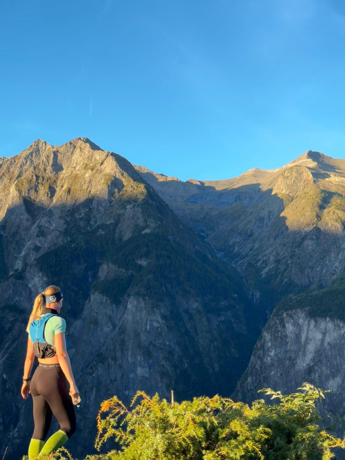
The peaks of Villard Notre Dame at sunrise
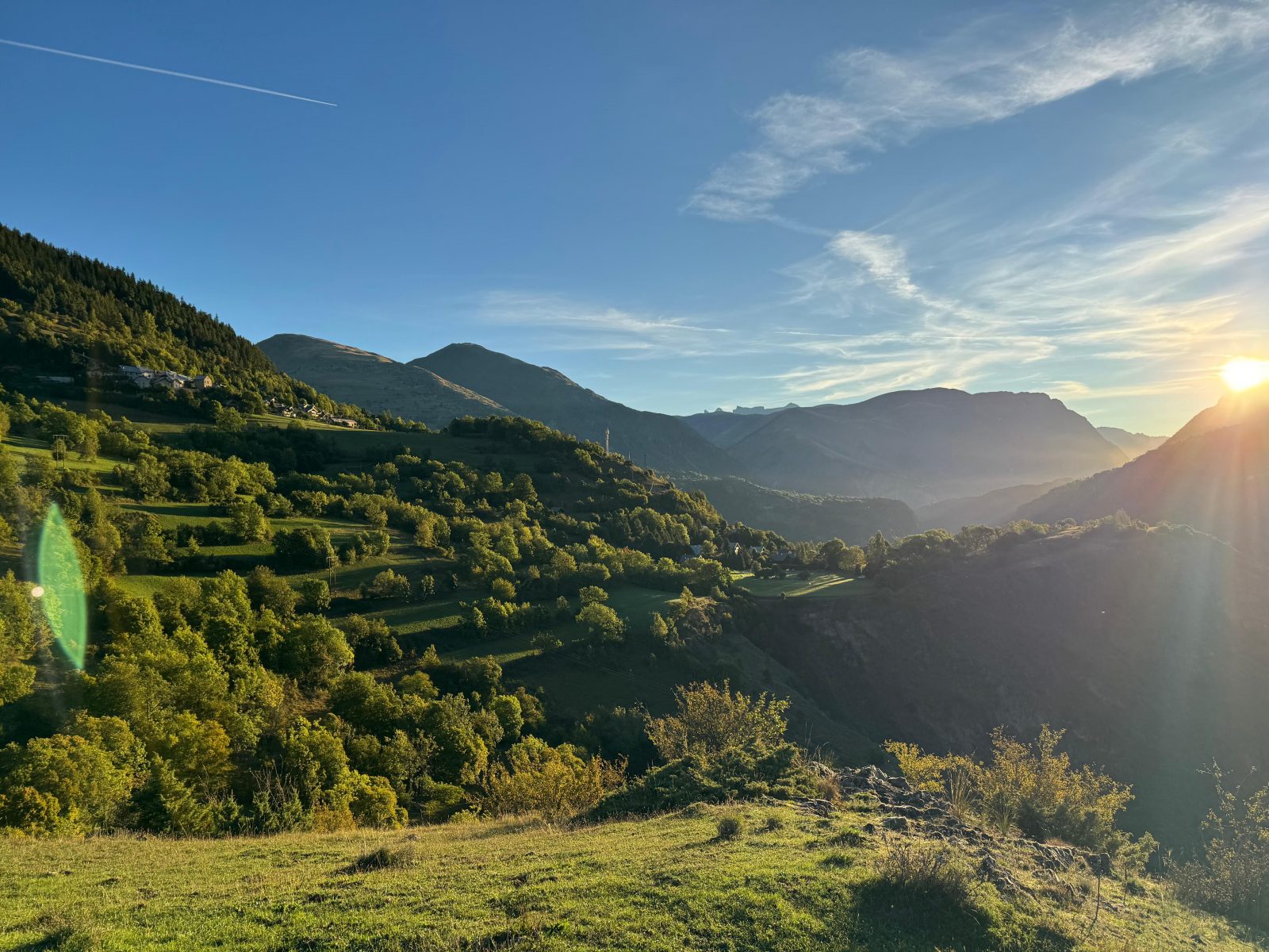
Heading toward Emparis from Le Coin – La Balme at sunrise
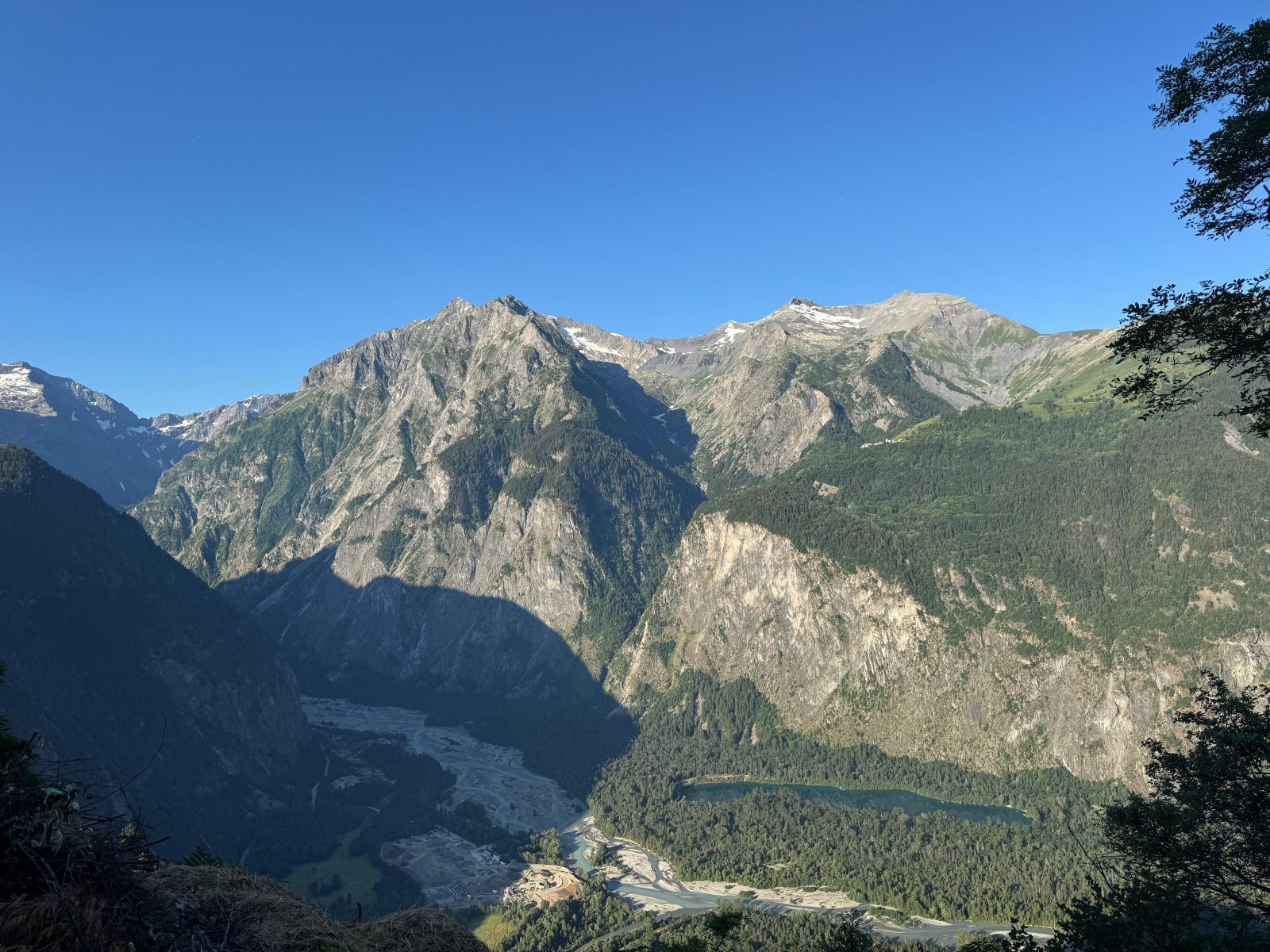
Vénéon Valley and Lake Buclet at sunrise
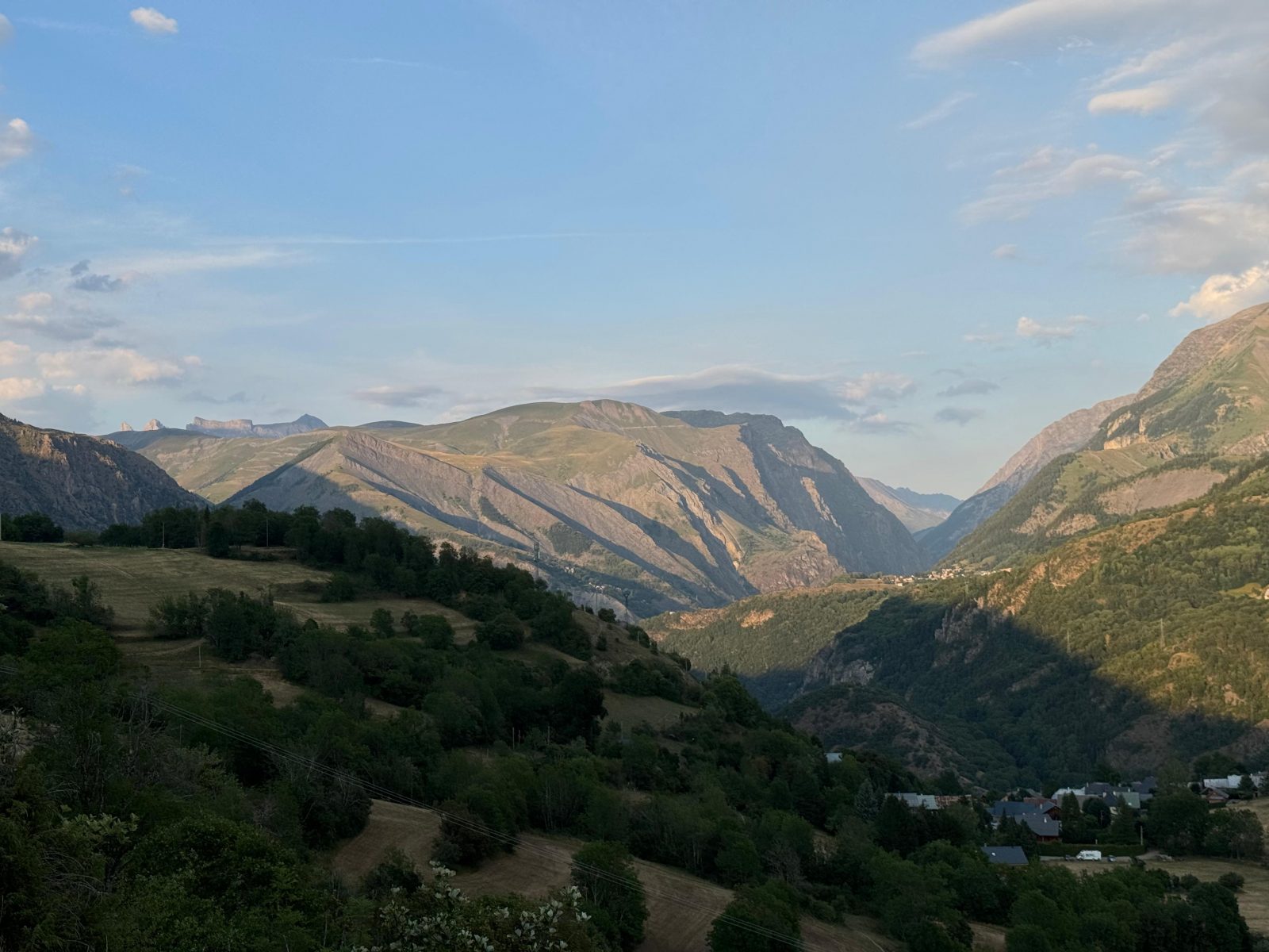
Heading toward Emparis from Le Coin – La Balme at sunset
Short route: ideal for a quick workout or an introduction to mountain trail running, taking you through the villages of Auris-en-Oisans with beautiful, varied views and a shaded trail.
À propos : 3 – Trail Around the Hamlets of Auris
Terrain difficulty: Very hilly, with a technical and challenging descent featuring a few sections with a 30% grade over 1 kilometer, as well as forest trails with some rocks and roots.
Rideability: Generally good, except for one very steep descent.
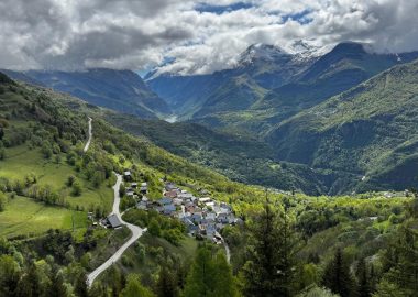
Beautiful views of the Romanche Valley and the Ecrins Massif await you in a varied setting! Breathtaking views down toward the Col du Lautaret between La Meije and the Emparis Plateau.
Through July, you’ll pass through alpine pastures with cows and bulls grazing in the meadows. Be sure to close gates securely if there are no designated green crossings for people, slow down, and remain calm when approaching the herds.
Age minimum : 10 ans
Accueil : There are several fountains along the route that provide drinking water in each hamlet, right along the trail!
Guidebook with maps/step-by-step
From the parking lot in the village of Les Cours, heading toward the road, take the trail on your right that goes uphill.
Once on the road, turn left and head downhill, then take the first trail on your right that goes uphill.
Continue along the path above the road until you pass through the village of Les Certs; a yellow sign in the village will point you toward “Plancet.”
At the next intersection, turn left and follow the signs for “La Balme” and “Le Coin.” There, you’ll begin the challenging descent of this route.
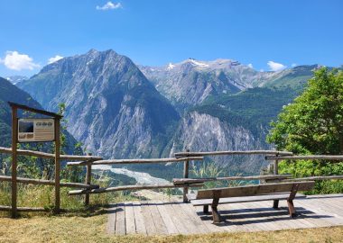
At the road, go straight ahead and continue toward “La Balme” and “Le Coin,” following the yellow sign. A second winding descent awaits you, offering an impressive view of the entrance to the Vénéon Valley and Lake Buclet.
Once at the bottom of the switchbacks, take the path on the left toward “La Balme,” then go straight through the village of La Balme, following the signs for “Les Chatains.” A long, undulating downhill path will lead you to the Notre Dame de Piété church and to the main road (continue toward “Le Mailloz,” indicated on a yellow sign).
Once you reach the road, continue 200 meters to your right, then you’ll find a trail on your left with a sign pointing to “Les Cours.” This trail will take you back to the village of Les Cours. To return to the parking lot, follow the signs for “Les Cours centre” and then “Le Cert” in succession.
Visitor alert
Through July, you may come across alpine pastures with cows and bulls grazing in the meadows. Be sure to close gates securely if there are no designated green crossings for people, slow down, and remain calm when approaching the herds.
The periods during which trails are accessible vary from year to year depending on snow cover and weather conditions. In addition, trail conditions can change rapidly after a weather event and are not checked daily. If you encounter a damaged or dangerous section, turn back and report it to the tourist office upon your return.
En bref
0 h 30
D+ : 350 m
7 km
Level green – easy
Plan et tracé GPX
3 – Trail Around the Hamlets of Auris
Auris-en-Oisans
Équipements
- Restaurant
- Free car park
- Car park
- Picnic area
Services
- Pets welcome
- Motorhomes allowed
- Drinking water
Prestations
Activités
- Durée séance : 30 minutes
Visites
- Durée moyenne de la individuelle : 30 minutes
Ouverture
From 15/04 to 31/10 daily.
The periods during which the trails are accessible vary from year to year depending on snow cover and weather conditions. In addition, trail conditions can change rapidly after a weather event and are not checked daily. If you encounter a section of the trail that is in poor condition or dangerous, turn back and report it to the tourist office upon your return.
Subject to favorable weather.
Tarifs
Free access.
Accueil animaux
Dogs must be kept on a leash throughout the entire municipality. At the start of the season, this route takes you through alpine pastures with cows and bulls. Make sure your dog is well-socialized.
Ce prestataire vous propose aussi