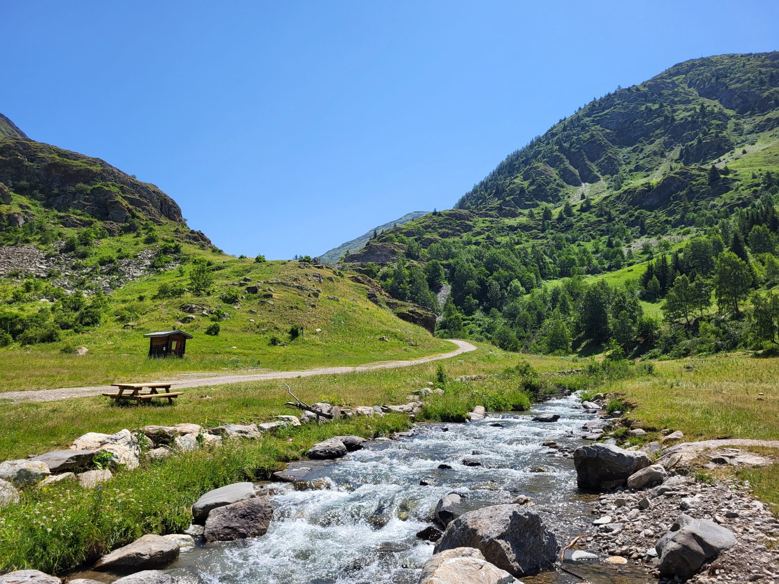
The Sarenne River as seen from Le Gua ©Alison Leroy
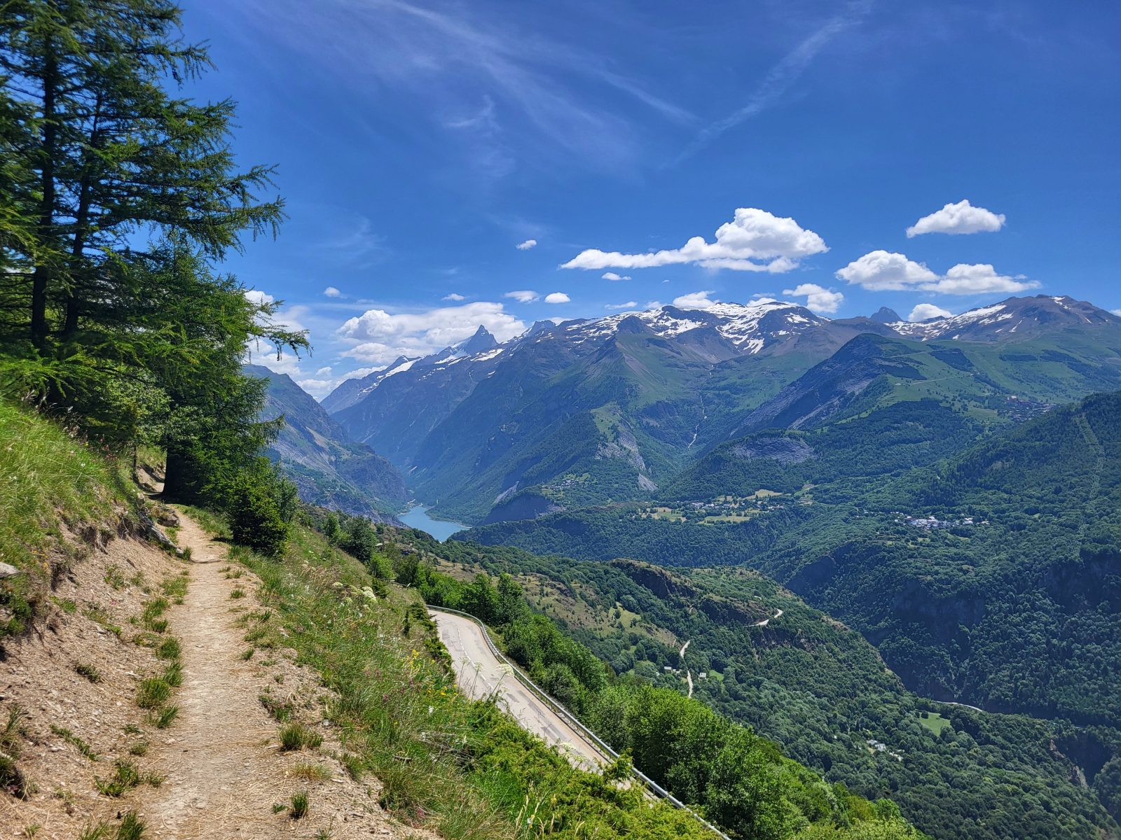
Toward the Saint-Géraud Chapel ©Alison Leroy
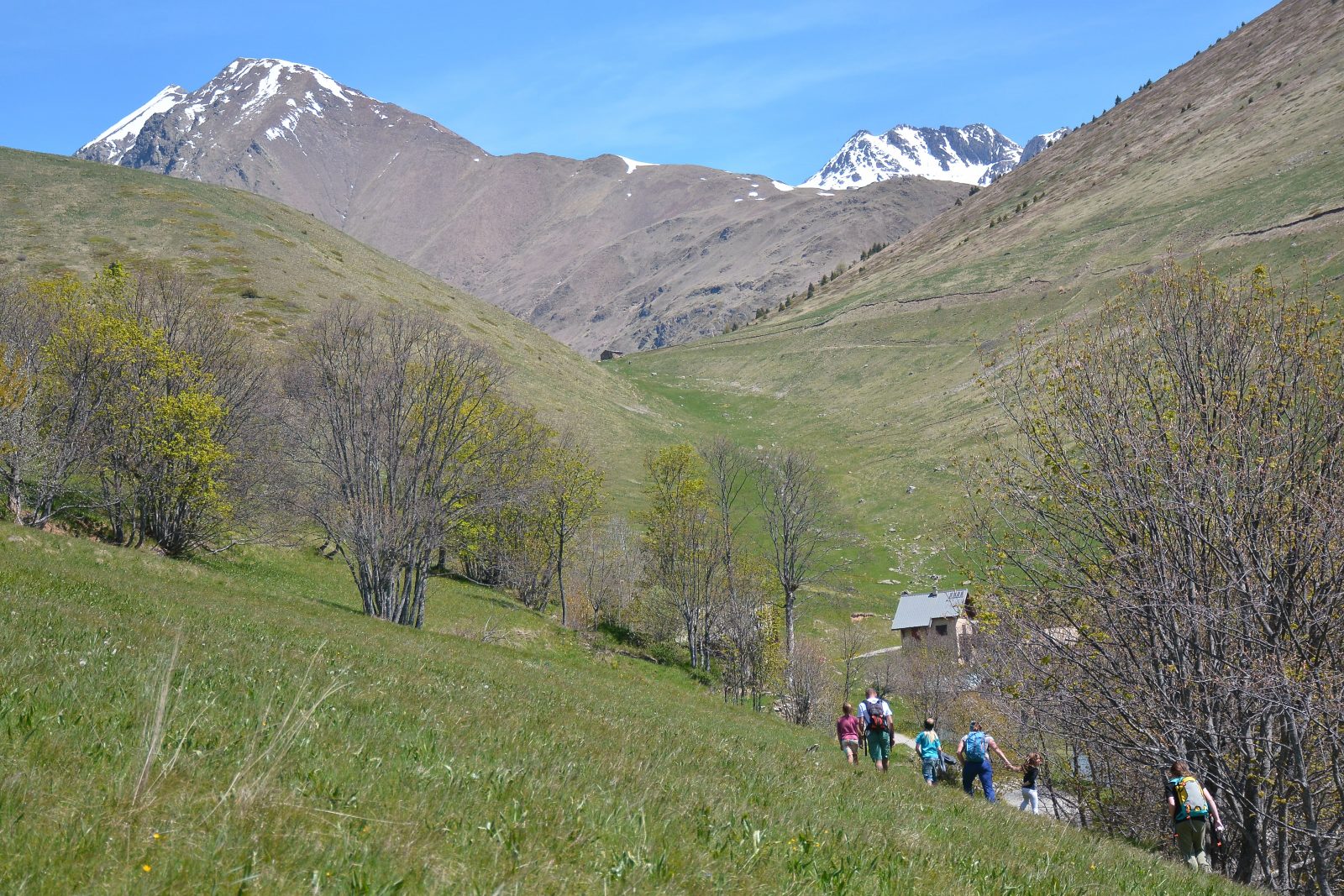
Toward the hamlet of Cluy in the fall ©Urope
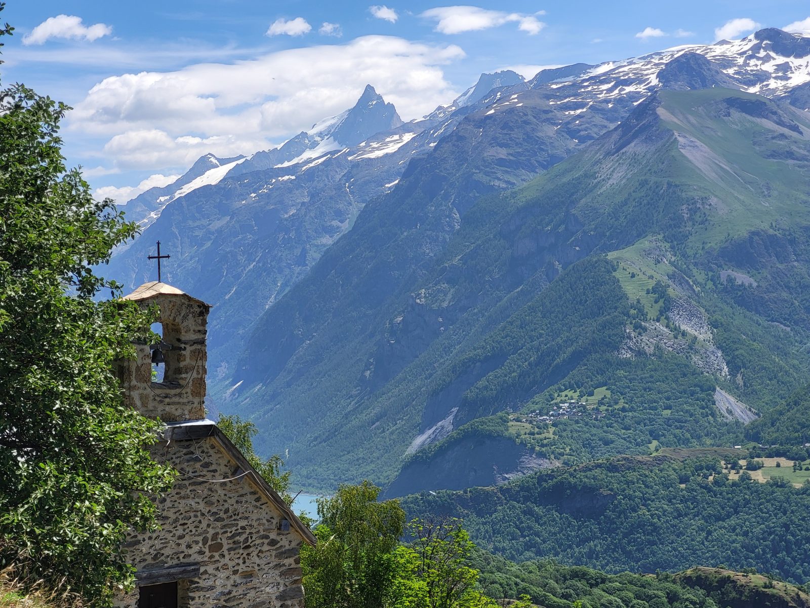
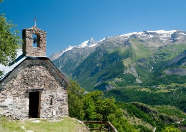
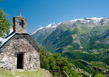
Saint-Géraud Chapel and La Meije ©Alison Leroy
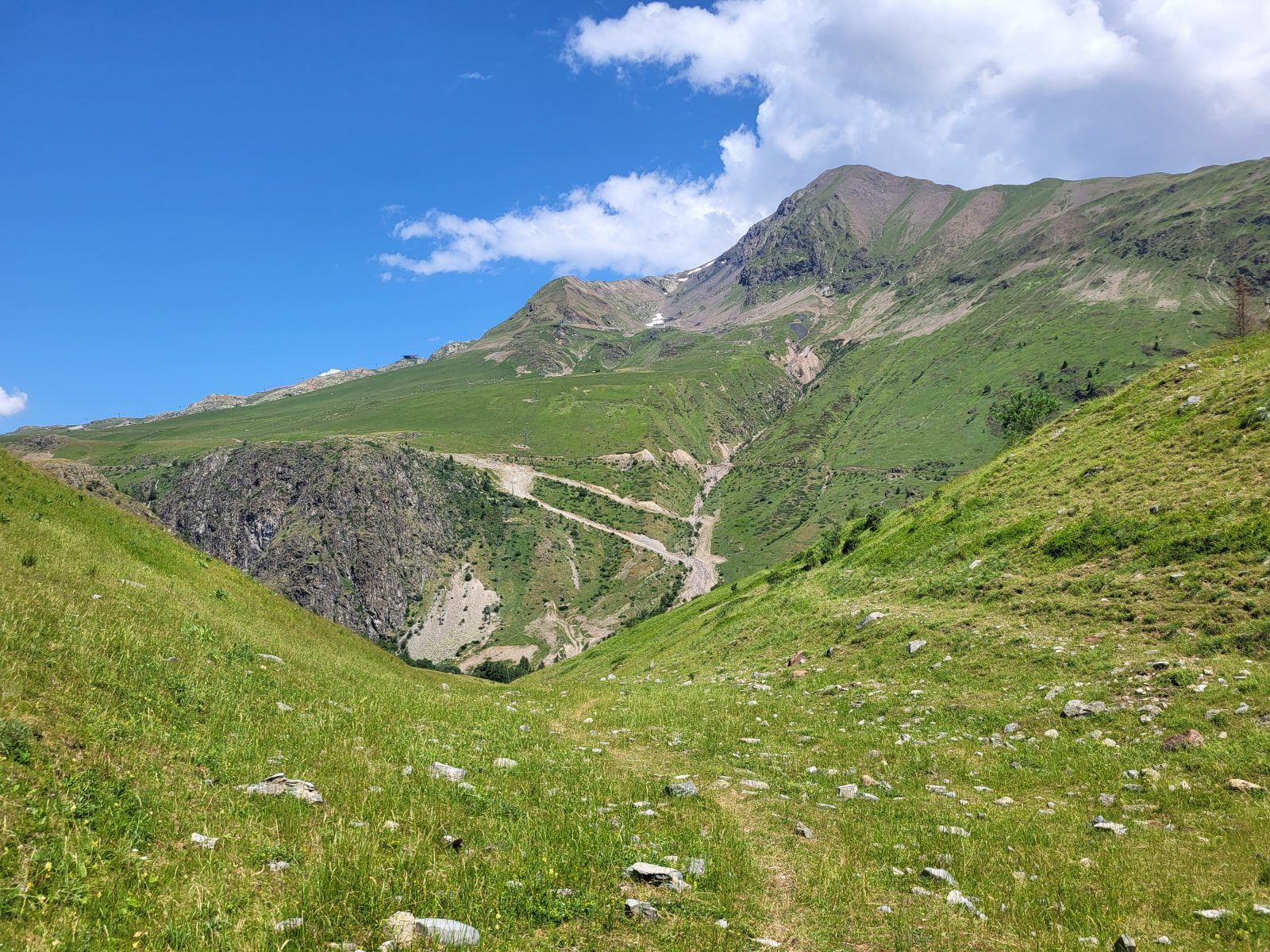
On the way to the Gua ©Alison Leroy
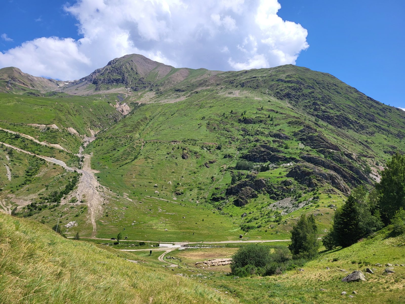
The Tall Blondes ©Alison Leroy
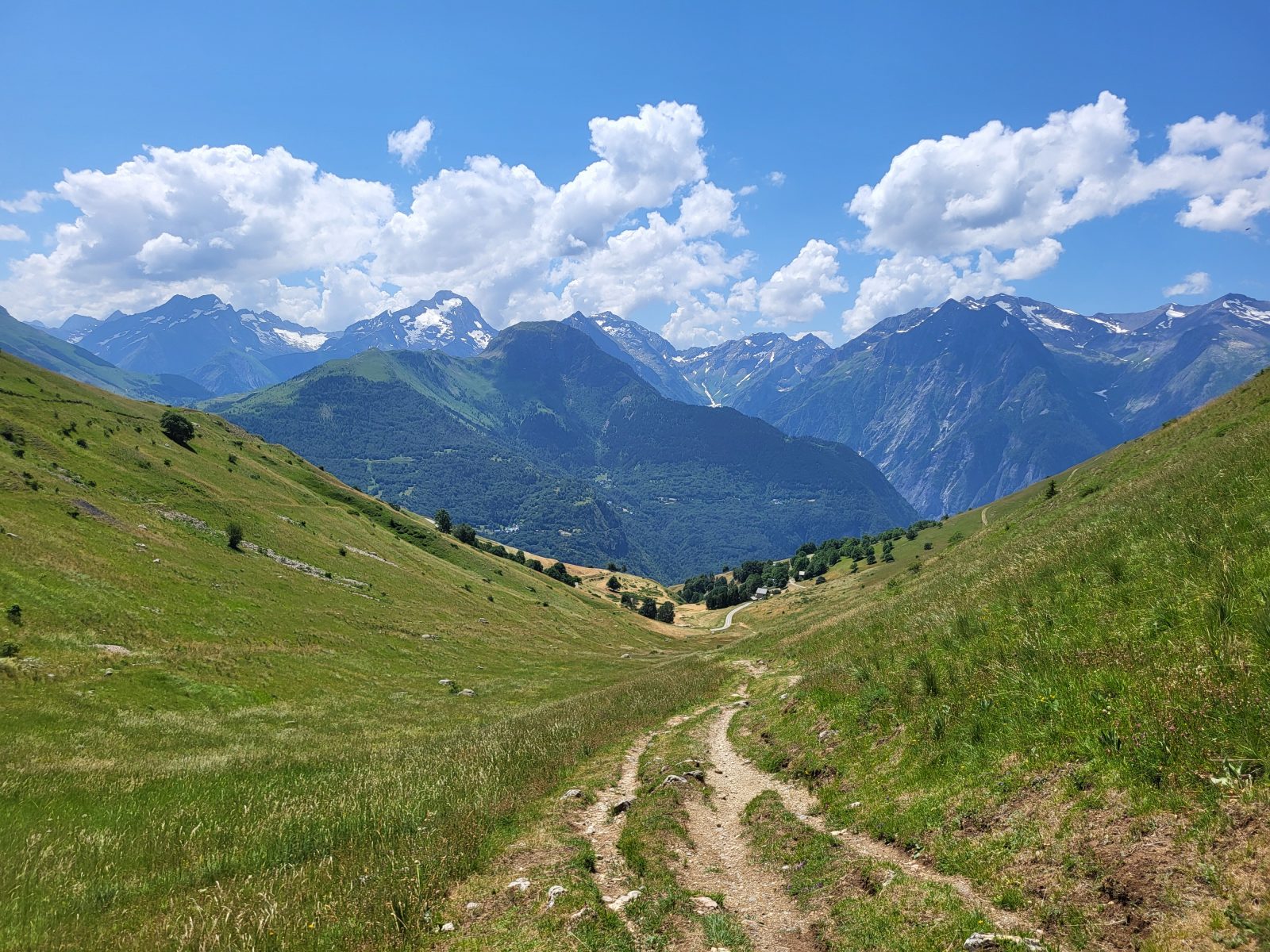
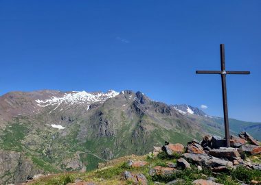
The Écrins from the Col de Cluy Trail ©Alison Leroy
Hike to the Gua and the Sarenne, the nearest river that separates us from Alpe d'Huez. Enjoy this easy hike as you take in the views of the mountain pastures and the nearby peaks of the Grandes Rousses and the Écrins.
À propos : Gorges de Sarenne – Hiking from Auris-en-Oisans and Cluy resorts
ECHNICAL INFORMATION
Start: Auris en Oisans station
Height difference: 488 m
Round trip time: 3h30
Distance: 9.13 km
MAP AND TOPO :
Map / Topo guide OBP n°2 and 3 (on sale at the tourist office):
ITINERARY
At the entrance to the resort, take the path up towards Chapelle saint Gérault. Once you've reached the chapel, continue along the pastoral road towards the hamlet of Cluy, then its pass.
Beware: herds are present from May to September.
Once at the top of the Col de Cluy, continue towards the Gorges de Sarenne, where you'll come across the Gua, a small river.
You can then turn back.
THINGS TO SEE ALONG THE WAY
- St Gérault chapel, founded in honor of the abbot of Aurillac.
- The hamlet of Cluy, with its typical Oisans stone houses and St Ilpise chapel, has a mountain charm all of its own.
- You can admire Alpe d'Huez, located on the opposite plateau.
THINGS TO KNOW
La Sarenne, "the longest black run in the world". In winter, the path you're taking is the end of this legendary ski run.
Dogs must be kept on a leash because of the presence of herding dogs in Cluy.
Accueil : Be sure to bring plenty of water, shoes suitable for walking, a hat or cap, and sunscreen.
Tips
Keep in mind: the trail is exposed. You may be caught off guard by the sun, wind, or rain. Be sure to check the weather forecast before setting out on your hike.
Guidebook with maps/step-by-step
From the entrance to the resort, take the trail behind the bus shelter toward the Col de Cluy.
You’ll walk along the trail and pass by the Saint-Géraud Chapel before rejoining the Cluy pastoral trail.
Turn left and follow the trail uphill, then the footpath, all the way to the pass. Keep heading in the same direction—toward the Col de Cluy.
From the Col de Cluy, take the trail descending toward Alpe d’Huez, Huez, and the Col de Sarenne.
At the bridge, you’ll find yourself facing the Sarenne River and the hamlet of Le Gua. A great spot to take a break!
For the return trip, follow the same route in the opposite direction.
En bref
D+ : 515 m
9 km
Level red – hard
Plan et tracé GPX
Gorges de Sarenne – Hiking from Auris-en-Oisans and Cluy resorts
Auris-en-Oisans
Équipements
- Parking nearby
Services
- Pets welcome
Ouverture
From 01/06 to 31/10 daily.
The periods during which the trails are accessible vary from year to year depending on snow cover and weather conditions. In addition, trail conditions can change rapidly after a weather event and are not checked daily. If you encounter a section of the trail that is in poor condition or dangerous, turn back and report it to the tourist office upon your return.
Subject to favorable snow and weather conditions.
Tarifs
Free access.
Accueil animaux
Dogs must be kept on a leash at all times along the entire route and throughout the municipality. Please be aware that you may encounter herds during the summer grazing season and guard dogs; make sure your dog is socialized with all types of animals. If you encounter a guard dog, it is essential to let go of your dog’s leash to allow them to interact and establish a dominant-subordinate relationship. The leash prevents this interaction because you tend to pull on it to protect your dog. In reality, this action only agitates the dogs further and prevents them from establishing a clear hierarchy between themselves. If you have a small dog, under no circumstances should you pick it up, as you could put yourself in danger by getting in the way. For more information, visit Pasto-kézako.fr.
Ce prestataire vous propose aussi

Auris-en-Oisans
Complément de localisation
The trail starts behind the bus shelter at the entrance to the resort.